MyTopo
Chikamin Creek Washington US Topo Map
Couldn't load pickup availability
Also explore the Chikamin Creek Forest Service Topo of this same quad for updated USFS data
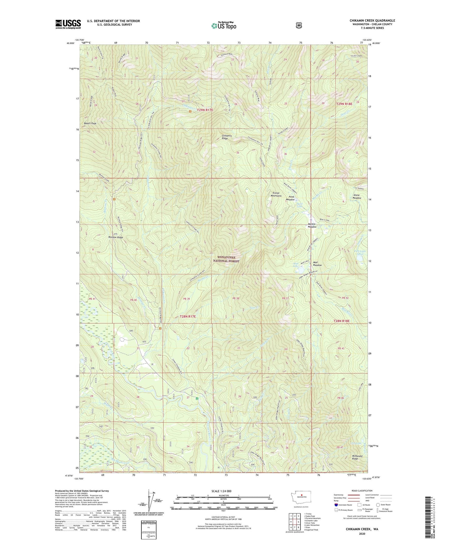
2023 topographic map quadrangle Chikamin Creek in the state of Washington. Scale: 1:24000. Based on the newly updated USGS 7.5' US Topo map series, this map is in the following counties: Chelan. The map contains contour data, water features, and other items you are used to seeing on USGS maps, but also has updated roads and other features. This is the next generation of topographic maps. Printed on high-quality waterproof paper with UV fade-resistant inks.
Quads adjacent to this one:
West: Schaefer Lake
Northwest: Trinity
North: Saska Peak
Northeast: Pyramid Mountain
East: Silver Falls
Southeast: Sugarloaf Peak
South: Plain
Southwest: Lake Wenatchee
This map covers the same area as the classic USGS quad with code o47120h6.
Contains the following named places: Basalt Peak, Brush Creek, Chikamin Creek, Chikamin Ridge, Devil Lake, Gate Creek, Grouse Camp, Grouse Creek, Grouse Creek Campground, Huckleberry Ford, Huckleberry Ford Campground, Klone Meadow, Lost Lake, Mad Lake, Mad Meadow, Marble Creek, Marble Creek Camp, Marble Meadow, McDonald Ridge, Minnow Creek, Minnow Ridge, Pond Meadow, Raging Creek, Two Little Lakes