MyTopo
Colockum Pass SW Washington US Topo Map
Couldn't load pickup availability
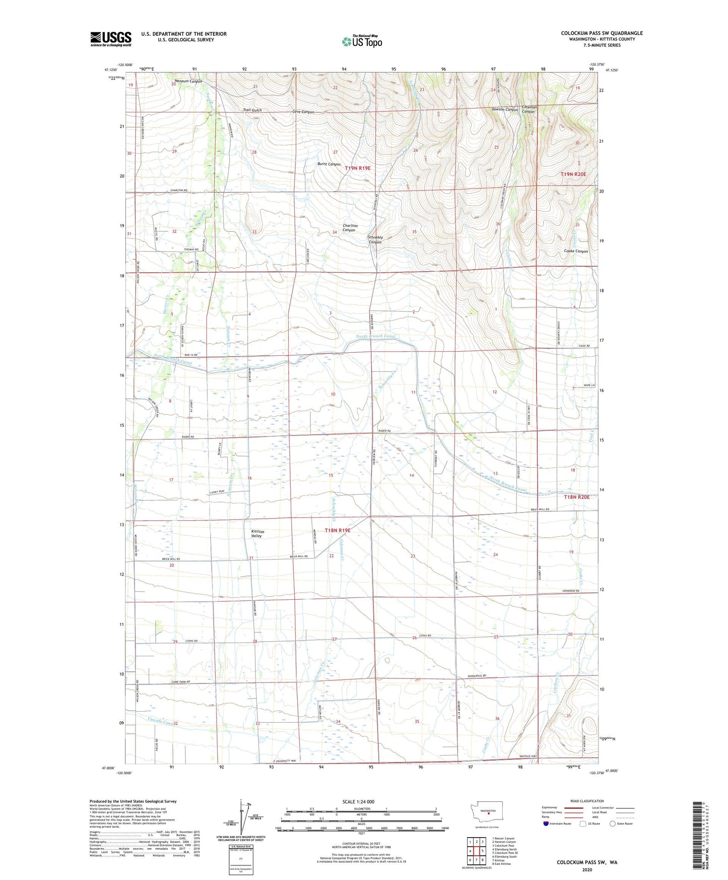
2023 topographic map quadrangle Colockum Pass SW in the state of Washington. Scale: 1:24000. Based on the newly updated USGS 7.5' US Topo map series, this map is in the following counties: Kittitas. The map contains contour data, water features, and other items you are used to seeing on USGS maps, but also has updated roads and other features. This is the next generation of topographic maps. Printed on high-quality waterproof paper with UV fade-resistant inks.
Quads adjacent to this one:
West: Ellensburg North
Northwest: Reecer Canyon
North: Naneum Canyon
Northeast: Colockum Pass
East: Colockum Pass SE
Southeast: East Kittitas
South: Kittitas
Southwest: Ellensburg South
This map covers the same area as the classic USGS quad with code o47120a4.
Contains the following named places: Burnt Canyon, Cascade Canal, Cave Canyon, Charlton Canyon, Coleman Canyon, Cooke Canyon, Dawson Canyon, Fairview Hall, Naneum Canyon, Schnebly Canyon, Schnebly Creek, Trail Creek, Trail Gulch, ZIP Code: 98926