MyTopo
Colton Washington US Topo Map
Couldn't load pickup availability
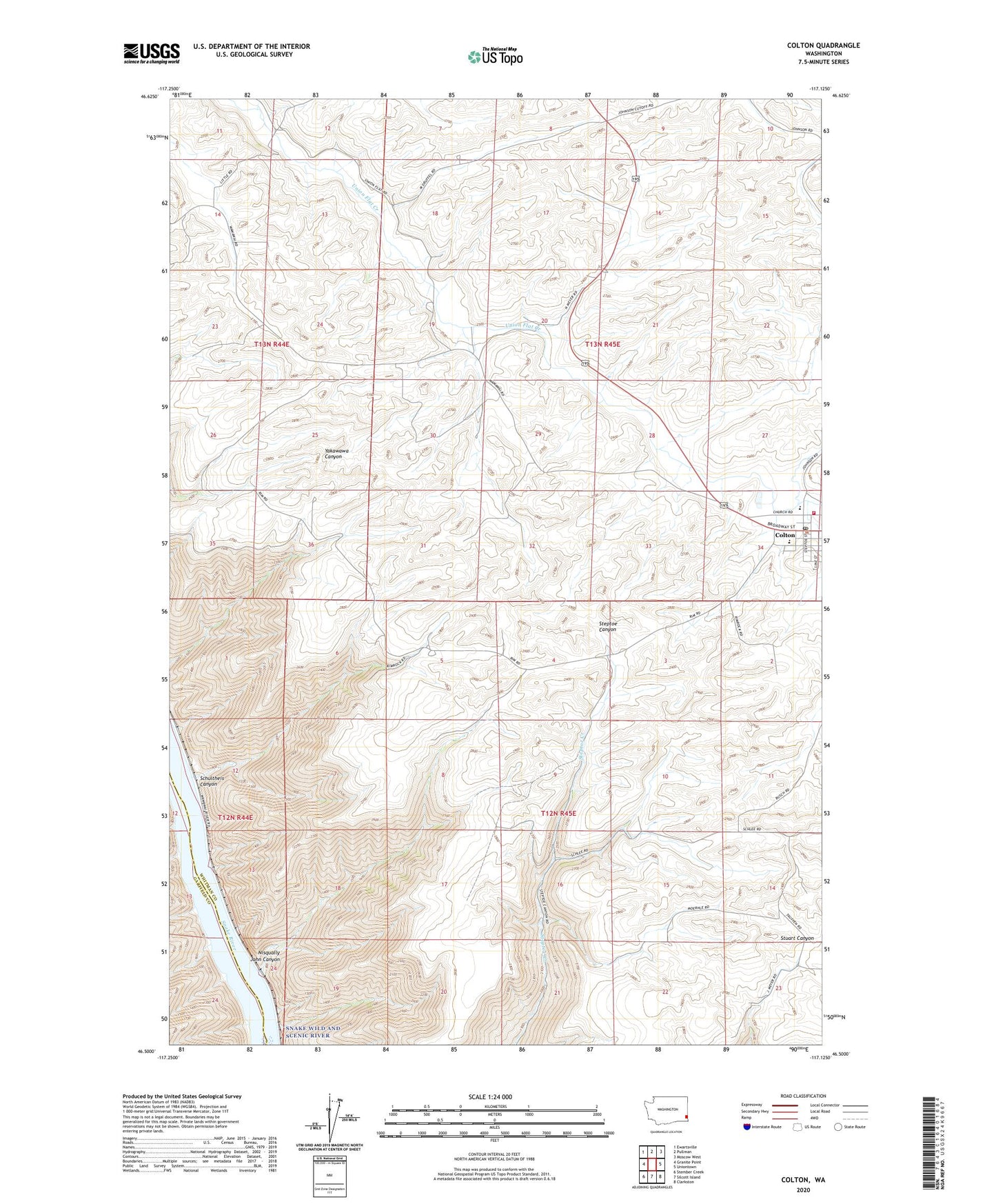
2023 topographic map quadrangle Colton in the state of Washington. Scale: 1:24000. Based on the newly updated USGS 7.5' US Topo map series, this map is in the following counties: Whitman, Garfield. The map contains contour data, water features, and other items you are used to seeing on USGS maps, but also has updated roads and other features. This is the next generation of topographic maps. Printed on high-quality waterproof paper with UV fade-resistant inks.
Quads adjacent to this one:
West: Granite Point
Northwest: Ewartsville
North: Pullman
Northeast: Moscow West
East: Uniontown
Southeast: Clarkston
South: Silcott Island
Southwest: Stember Creek
This map covers the same area as the classic USGS quad with code o46117e2.
Contains the following named places: Colton, Colton Marshal's Office, Colton Post Office, Colton School, Guardian Angel - Saint Boniface School, Nesterbank Ranch, Nisqually John Canyon, Schultheis Canyon, Town of Colton, Uniontown Division, Whitman County Fire District 14 Station 1, ZIP Code: 99113