MyTopo
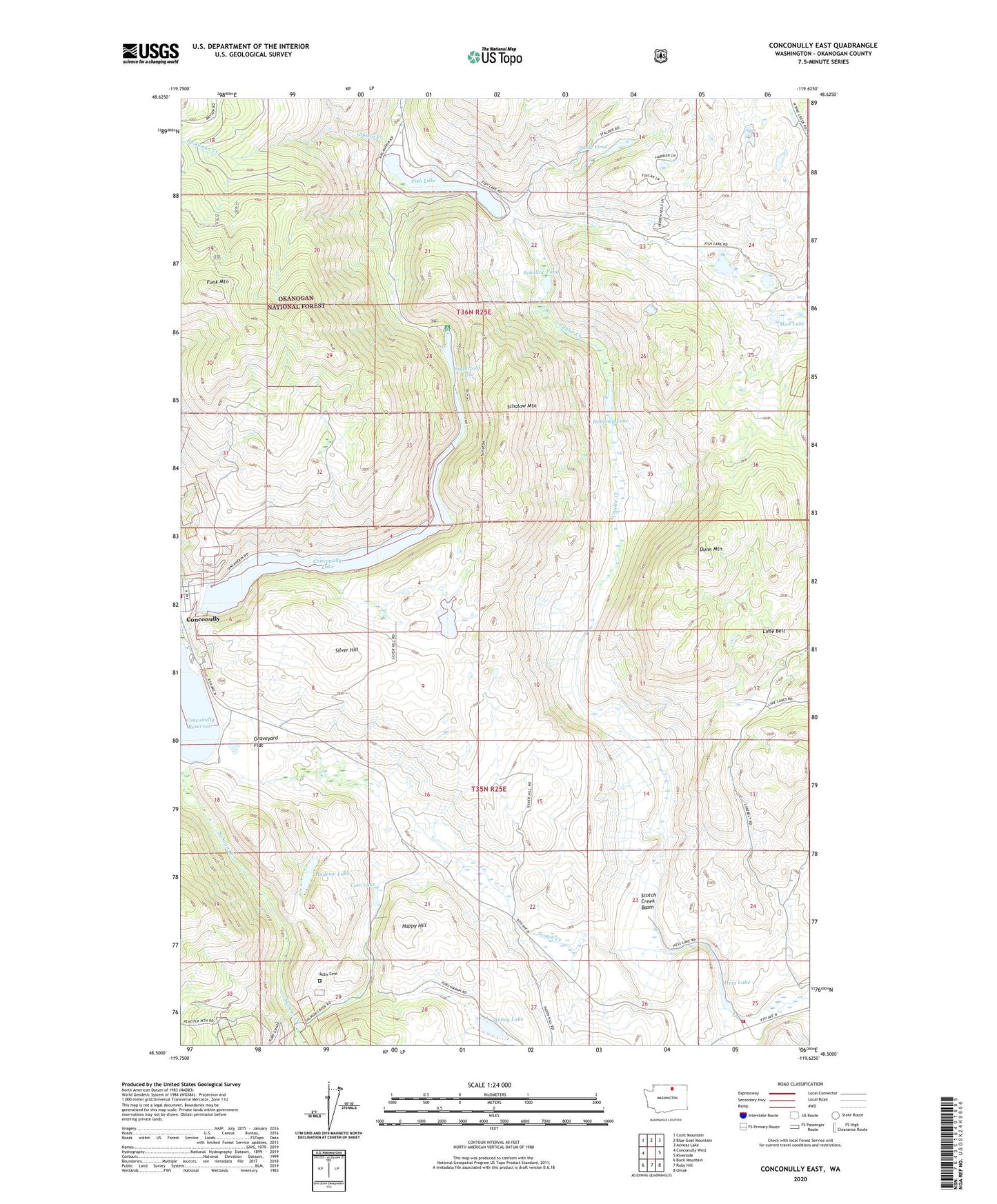
Conconully East Washington US Topo Map
Couldn't load pickup availability
Also explore the Conconully East Forest Service Topo of this same quad for updated USFS data
2023 topographic map quadrangle Conconully East in the state of Washington. Scale: 1:24000. Based on the newly updated USGS 7.5' US Topo map series, this map is in the following counties: Okanogan. The map contains contour data, water features, and other items you are used to seeing on USGS maps, but also has updated roads and other features. This is the next generation of topographic maps. Printed on high-quality waterproof paper with UV fade-resistant inks.
Quads adjacent to this one:
West: Conconully West
Northwest: Coxit Mountain
North: Blue Goat Mountain
Northeast: Aeneas Lake
East: Riverside
Southeast: Omak
South: Ruby Hill
Southwest: Buck Mountain
This map covers the same area as the classic USGS quad with code o48119e6.
Contains the following named places: Andrew Lake, Conconully, Conconully Dam, Conconully Lake, Conconully National Wildlife Refuge, Conconully Sewage Lagoon Number 1, Conconully Sewage Lagoon Number 2, Conconully Sewage Lagoon Number 3, Conconully Wastewater Treatment Plant, Conconully-Riverside Division, Coulee Creek, Cow Lake, Doheney Lake, Dunn Mountain, Fish Lake, Fish Lake Dam, Funk Mountain, Gibson Creek, Graveyard Flat, Happy Hill, Hess Lake, Honey Lake, Kootenai Camp, Mud Lake, North Fork Salmon Creek, Okanogan County, Okanogan County Fire District 9, Peacock Mine, Roberts Lake, Ruby Cemetery, Salmon Lake Dam, Sasse Pond, Sasse Reservoir, Sasse Reservoir Dam, Schallow Lake, Schallow Lake Dam, Schalow Mountain, Schalow Pond, Scotch Creek, Scotch Creek Basin, Scotch Creek Grange Hall, Silver Hill, Spikeman Creek, Sugarloaf Campgrounds, Sugarloaf Lake