MyTopo
Cyclone Creek Washington US Topo Map
Couldn't load pickup availability
Also explore the Cyclone Creek Forest Service Topo of this same quad for updated USFS data
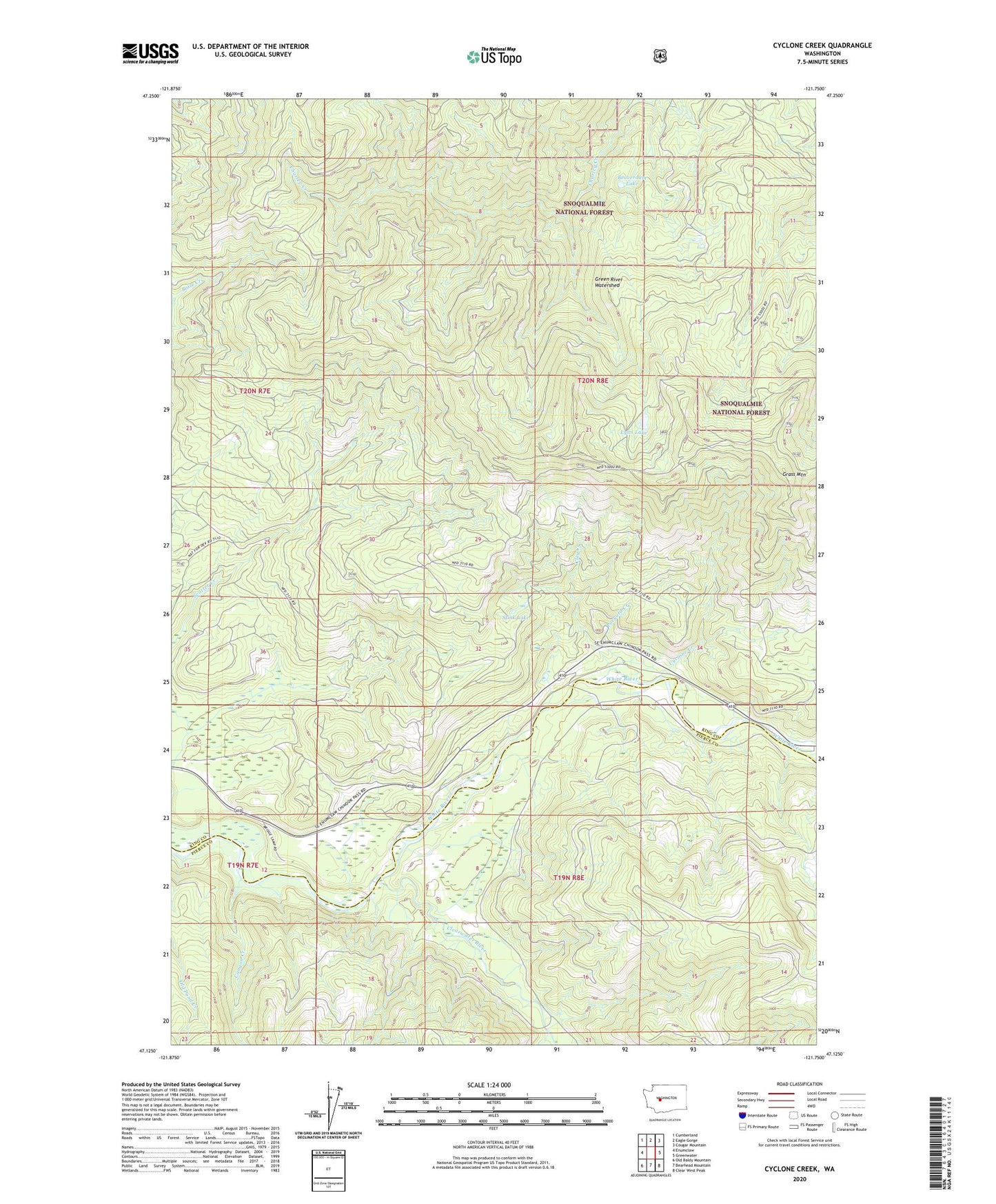
2023 topographic map quadrangle Cyclone Creek in the state of Washington. Scale: 1:24000. Based on the newly updated USGS 7.5' US Topo map series, this map is in the following counties: King, Pierce. The map contains contour data, water features, and other items you are used to seeing on USGS maps, but also has updated roads and other features. This is the next generation of topographic maps. Printed on high-quality waterproof paper with UV fade-resistant inks.
Quads adjacent to this one:
West: Enumclaw
Northwest: Cumberland
North: Eagle Gorge
Northeast: Cougar Mountain
East: Greenwater
Southeast: Clear West Peak
South: Bearhead Mountain
Southwest: Old Baldy Mountain
This map covers the same area as the classic USGS quad with code o47121b7.
Contains the following named places: Beaverdam Lake, Canyon Creek, Charley Creek, Clay Creek, Clearwater River, Cyclone Creek, Grass Mountain, Lynn Lake, Packard Creek, Stink Lake