MyTopo
Hoko Falls Washington US Topo Map
Couldn't load pickup availability
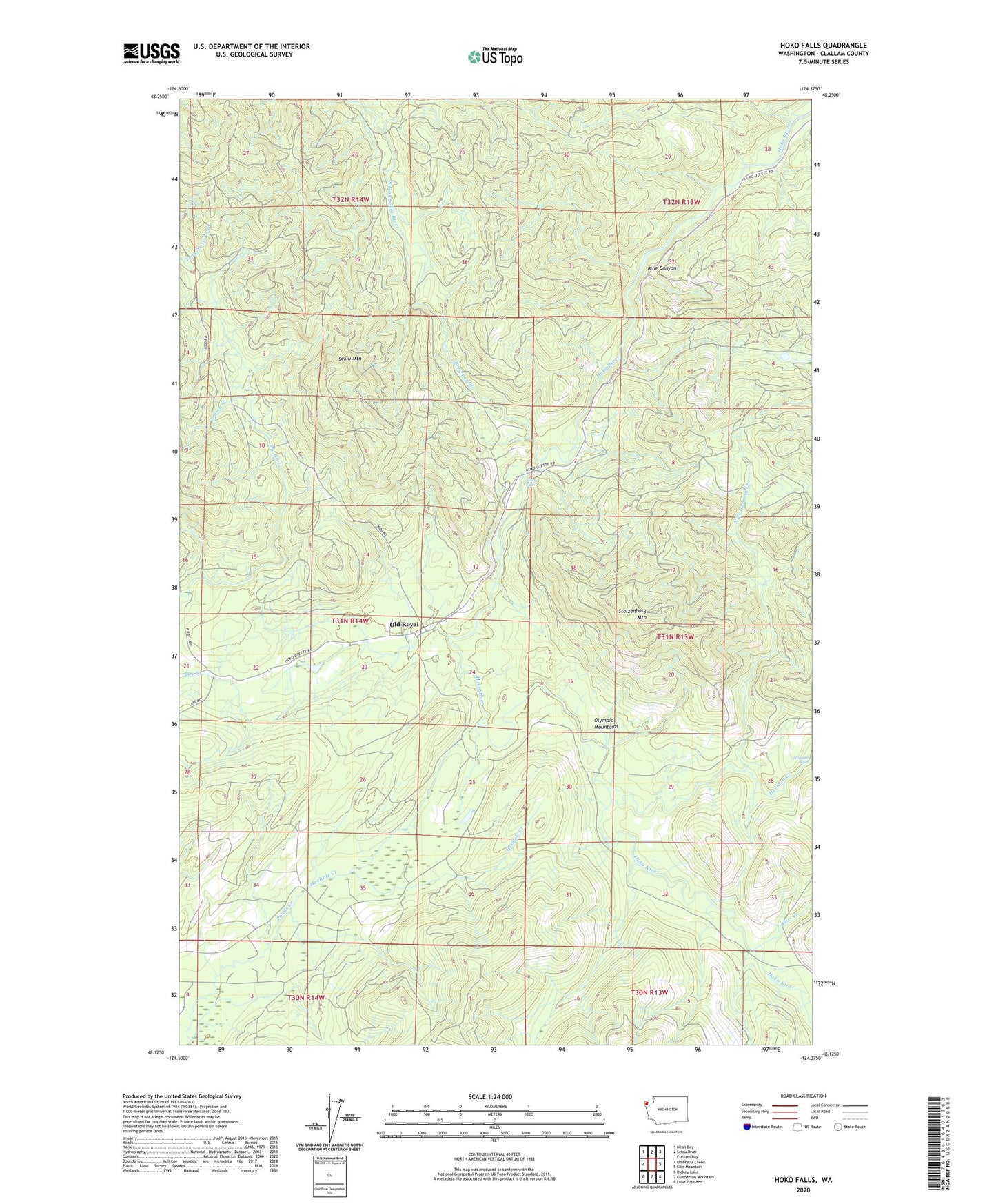
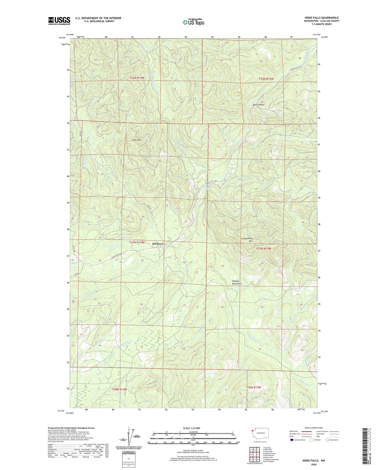
2020 topographic map quadrangle Hoko Falls in the state of Washington. Scale: 1:24000. Based on the newly updated USGS 7.5' US Topo map series, this map is in the following counties: Clallam. The map contains contour data, water features, and other items you are used to seeing on USGS maps, but also has updated roads and other features. This is the next generation of topographic maps. Printed on high-quality waterproof paper with UV fade-resistant inks.
Quads adjacent to this one:
West: Umbrella Creek
Northwest: Neah Bay
North: Sekiu River
Northeast: Clallam Bay
East: Ellis Mountain
Southeast: Lake Pleasant
South: Gunderson Mountain
Southwest: Dickey Lake
Contains the following named places: Blue Canyon, Brown Creek, Brownes Creek, Clallam Bay-Neah Bay Division, Ellis Creek, Haehule Creek, Herman Creek, Herman Falls, Hoko Camp, Hoko Falls, North Branch Herman Creek, Old Royal, Sekiu Mountain, Stolzenburg Mountain, ZIP Code: 98326