
MyTopo
Little Falls Washington US Topo Map
Couldn't load pickup availability
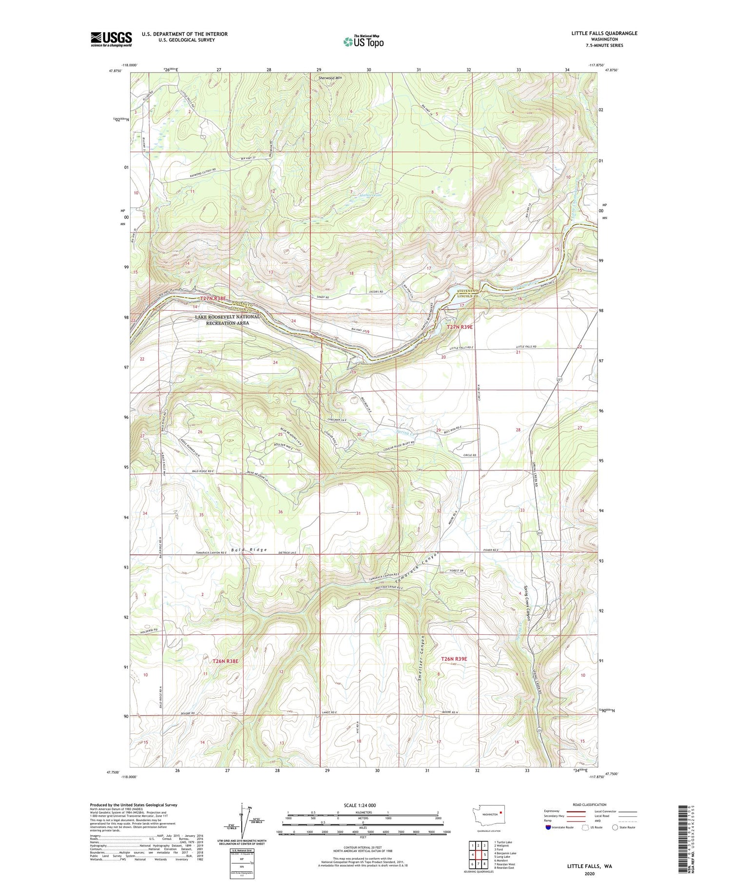
2020 topographic map quadrangle Little Falls in the state of Washington. Scale: 1:24000. Based on the newly updated USGS 7.5' US Topo map series, this map is in the following counties: Lincoln, Stevens. The map contains contour data, water features, and other items you are used to seeing on USGS maps, but also has updated roads and other features. This is the next generation of topographic maps. Printed on high-quality waterproof paper with UV fade-resistant inks.
Quads adjacent to this one:
West: Benjamin Lake
Northwest: Turtle Lake
North: Wellpinit
Northeast: Ford
East: Long Lake
Southeast: Reardan East
South: Reardan West
Southwest: Mondovi
Contains the following named places: Little Chamokane Creek, Little Falls, Little Falls Dam, Little Falls Reservoir, Mathews Lake, Sherwood Mountain, Smeltzer Canyon, Spring Creek, Spring Creek Canyon, Tamarack Canyon


