MyTopo
Ford Washington US Topo Map
Couldn't load pickup availability
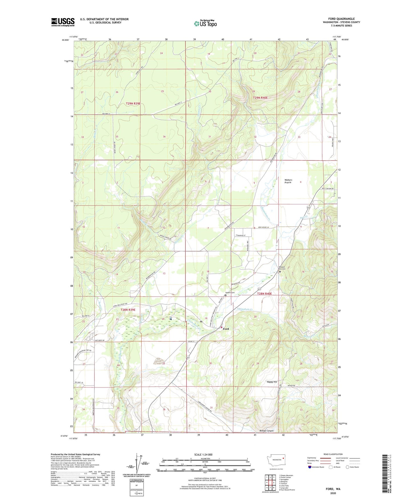
2023 topographic map quadrangle Ford in the state of Washington. Scale: 1:24000. Based on the newly updated USGS 7.5' US Topo map series, this map is in the following counties: Stevens. The map contains contour data, water features, and other items you are used to seeing on USGS maps, but also has updated roads and other features. This is the next generation of topographic maps. Printed on high-quality waterproof paper with UV fade-resistant inks.
Quads adjacent to this one:
West: Wellpinit
Northwest: Empey Mountain
North: Forest Center
Northeast: Springdale
East: Tumtum
Southeast: Four Mound Prairie
South: Long Lake
Southwest: Little Falls
This map covers the same area as the classic USGS quad with code o47117h7.
Contains the following named places: Bishop Canyon, Dawn Mine Tailing Pond Area Three Dam, Dawn Mine Tailings Pond, Ford, Ford Post Office, Happy Hill, Hubert Cemetery, Mission Creek, Moses Creek, Pleasant View Cemetery, Rail Creek, Saint Joseph Church, Stevens County Fire District 1 Station 6 Ford, Thomas Creek, Tshimakain Creek, Walkers Prairie, ZIP Code: 99013