MyTopo
Luna Butte Washington US Topo Map
Couldn't load pickup availability
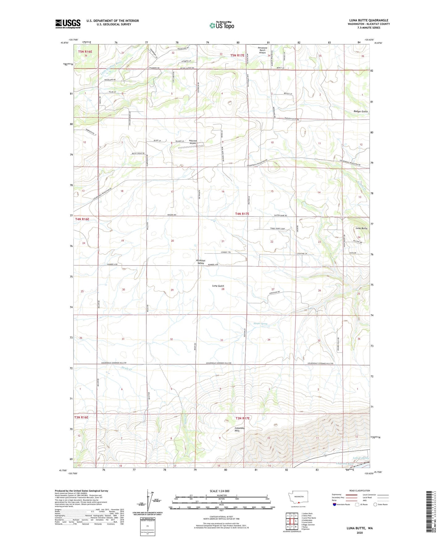
2020 topographic map quadrangle Luna Butte in the state of Washington. Scale: 1:24000. Based on the newly updated USGS 7.5' US Topo map series, this map is in the following counties: Klickitat. The map contains contour data, water features, and other items you are used to seeing on USGS maps, but also has updated roads and other features. This is the next generation of topographic maps. Printed on high-quality waterproof paper with UV fade-resistant inks.
Quads adjacent to this one:
West: Goldendale
Northwest: Indian Rock
North: Satus Pass
Northeast: Lone Pine Butte
East: Luna Gulch
Southeast: Quinton
South: Rufus
Southwest: Biggs Junction
Contains the following named places: Harper Spring, Hillcrest Airport, Luna Butte