MyTopo
Mount Tom Washington US Topo Map
Couldn't load pickup availability
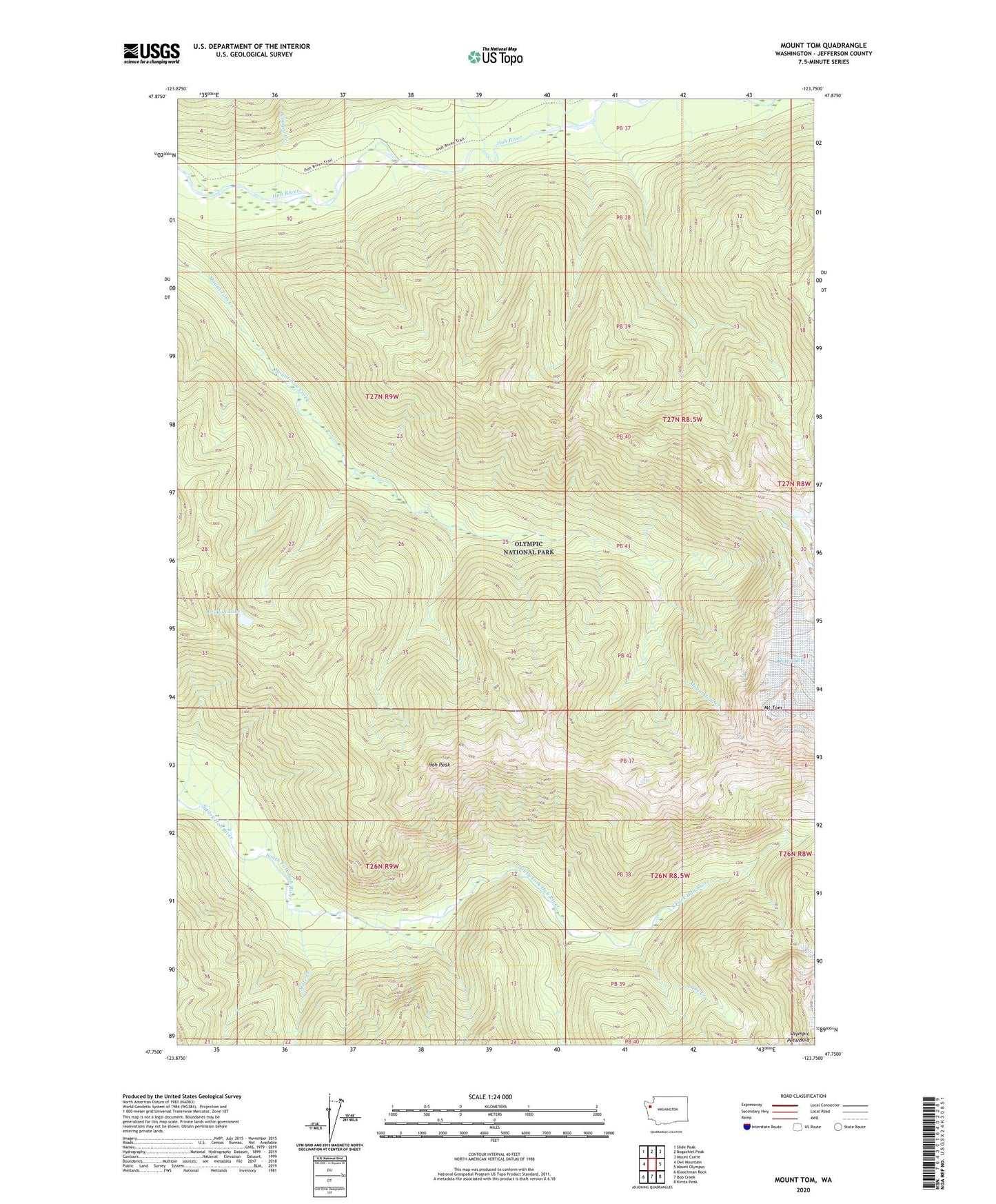
2023 topographic map quadrangle Mount Tom in the state of Washington. Scale: 1:24000. Based on the newly updated USGS 7.5' US Topo map series, this map is in the following counties: Jefferson. The map contains contour data, water features, and other items you are used to seeing on USGS maps, but also has updated roads and other features. This is the next generation of topographic maps. Printed on high-quality waterproof paper with UV fade-resistant inks.
Quads adjacent to this one:
West: Owl Mountain
Northwest: Slide Peak
North: Bogachiel Peak
Northeast: Mount Carrie
East: Mount Olympus
Southeast: Kimta Peak
South: Bob Creek
Southwest: Kloochman Rock
This map covers the same area as the classic USGS quad with code o47123g7.
Contains the following named places: Clide Creek, Cougar Creek, Dragon Lake, Happy Four Shelter, Hoh Peak, Lake Creek, Mount Tom, Olympic Peninsula, Slate Creek