MyTopo
Bogachiel Peak Washington US Topo Map
Couldn't load pickup availability
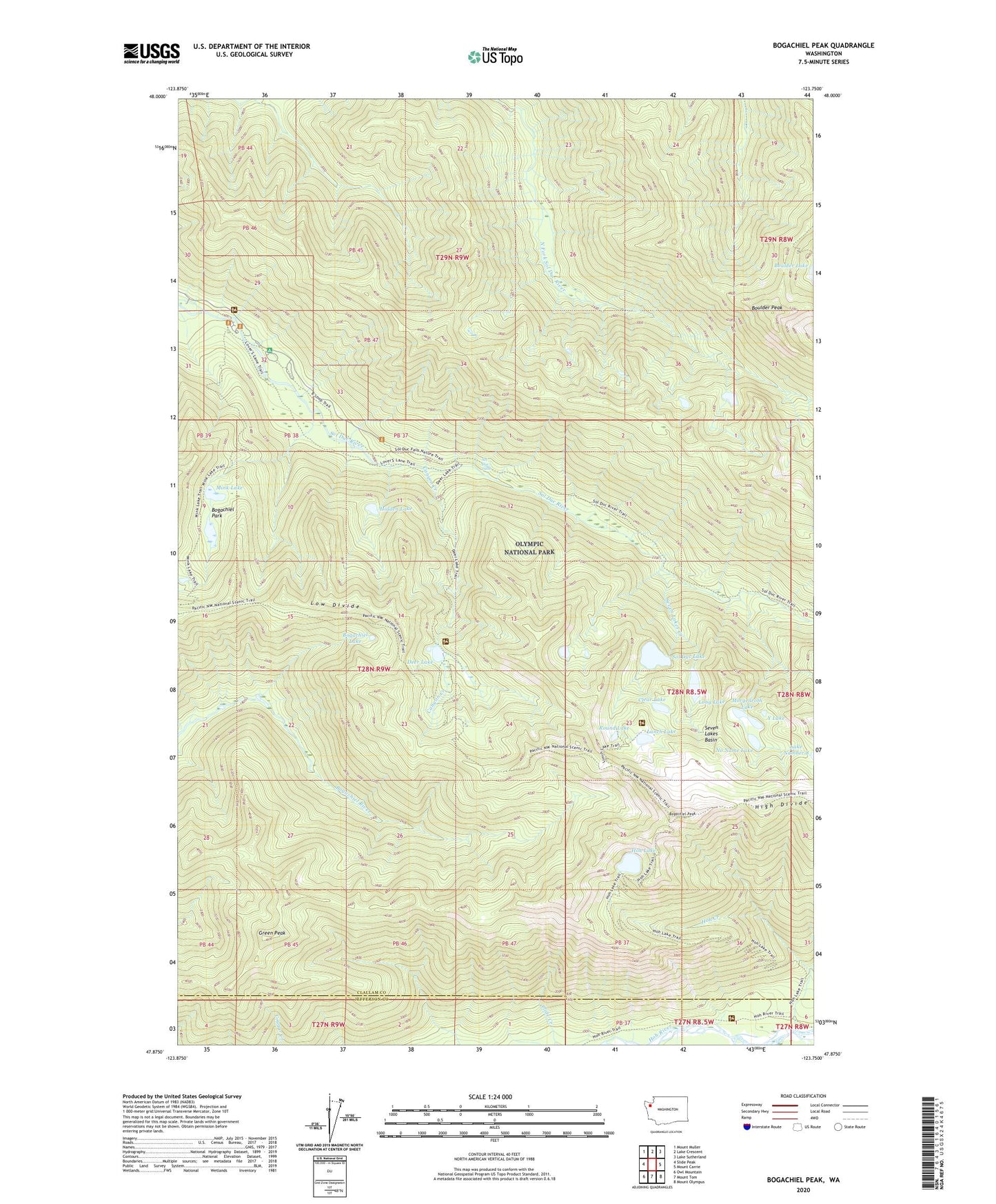
2023 topographic map quadrangle Bogachiel Peak in the state of Washington. Scale: 1:24000. Based on the newly updated USGS 7.5' US Topo map series, this map is in the following counties: Clallam, Jefferson. The map contains contour data, water features, and other items you are used to seeing on USGS maps, but also has updated roads and other features. This is the next generation of topographic maps. Printed on high-quality waterproof paper with UV fade-resistant inks.
Quads adjacent to this one:
West: Slide Peak
Northwest: Mount Muller
North: Lake Crescent
Northeast: Lake Sutherland
East: Mount Carrie
Southeast: Mount Olympus
South: Mount Tom
Southwest: Owl Mountain
This map covers the same area as the classic USGS quad with code o47123h7.
Contains the following named places: Bogachiel Lake, Bogachiel Park, Bogachiel Peak, Boulder Lake Shelter, Boulder Peak, Canyon Creek, Canyon Creek Hoh Trail, Canyon Creek Shelter, Clear Lake, Deer Lake, Deer Lake Cutoff, Deer Lake Shelter, Deer Lake Trail, Green Peak, Hidden Lake, High Divide, Hoh Creek, Hoh Lake, Long Lake, Lovers Lane, Lunch Lake, Mink Lake, Mink Lake Trail, Morgenroth Lake, No Name Lake, Olympus Guard Station, Olympus Ranger Station, Round Lake, Seven Lakes Basin, Seven Lakes Creek, Seven Lakes Ranger Station, Sol Duc Falls, Sol Duc Hot Springs, Sol Duc Lake, Solduc Post Office, Soleduck Campground, Soleduck Ranger Station, Soleduck Trail, Upper Hoh River Trail, Y Lake