
MyTopo
Mountain View Washington US Topo Map
Couldn't load pickup availability
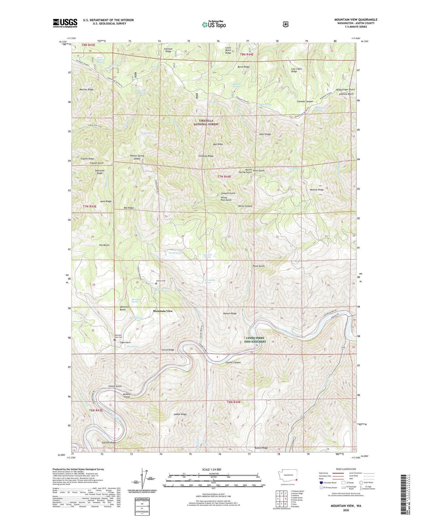
2020 topographic map quadrangle Mountain View in the state of Washington. Scale: 1:24000. Based on the newly updated USGS 7.5' US Topo map series, this map is in the following counties: Asotin. The map contains contour data, water features, and other items you are used to seeing on USGS maps, but also has updated roads and other features. This is the next generation of topographic maps. Printed on high-quality waterproof paper with UV fade-resistant inks.
Quads adjacent to this one:
West: Saddle Butte
Northwest: Pinkham Butte
North: Harlow Ridge
Northeast: Anatone
East: Fields Spring
Southeast: Paradise
South: Flora
Southwest: Troy
Contains the following named places: Allen Gulch, Anatone Butte, Autrey Cemetery, Bear Creek, Buford Creek, Burnt Ridge, Cape Horn, Chimney Ridge, Chitim Gulch, Corral Ridge, Cottonwood Creek, Cougar Creek, Coyote Canyon, Coyote Ridge, Crite Spring, Devils Canyon, Devils Slide, East Bear Creek, East Fork Cottonwood Creek, Hanson Ferry, Hanson Ridge, Herndon Spring, Hostetler Spring, Indian Tom Spring, Indian Tom Trail, Little Butte Ridge, Lost Cabin Ridge, Mallory Ridge, McLoughlin Spring, McMillan Spring, McNeil Spring, McNeill Island, Medicine Creek, Menatchee Creek, Middle Ridge, Mine Ridge, Morrow Ridge, Mount View School, Mountain View, Mountain View Cemetery, Mullin Spring, Mullin Spring Gulch, Plato Spring, Powe Gulch, R Barber Ranch, Rattlesnake Creek, Robinson Spring, Saddle Ridge, Sawtooth Ridge, Seven Sisters Spring, Short Ridge, Smooth Gulch, Swank Springs, Sweitzer Ridge, The Bench, Virgin Spring, West Bear Creek, Whitetail Butte, Willow Spring, Willow Spring Saddle, Yellow Pine Gulch


