MyTopo
Naneum Canyon Washington US Topo Map
Couldn't load pickup availability
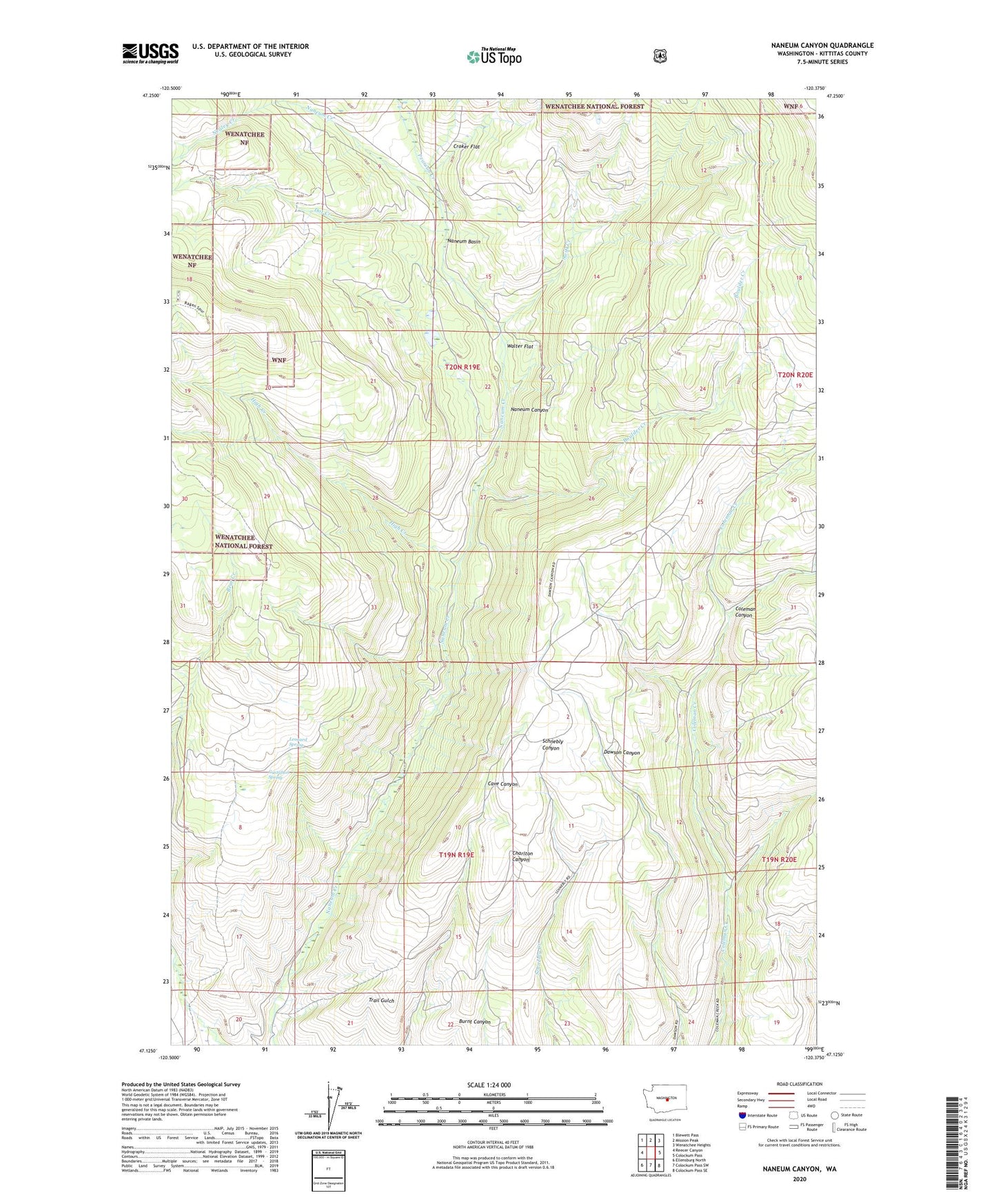
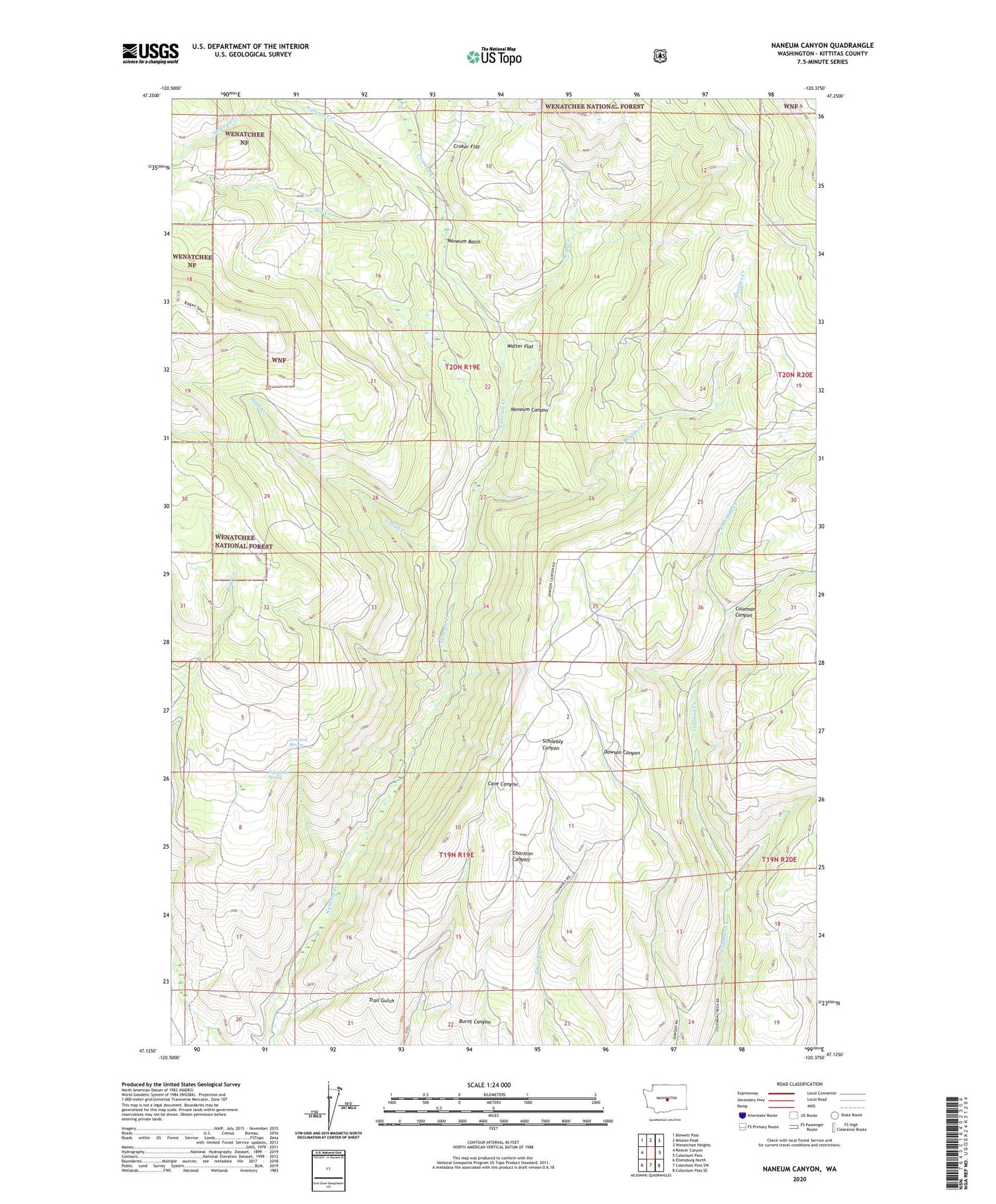
2020 topographic map quadrangle Naneum Canyon in the state of Washington. Scale: 1:24000. Based on the newly updated USGS 7.5' US Topo map series, this map is in the following counties: Kittitas. The map contains contour data, water features, and other items you are used to seeing on USGS maps, but also has updated roads and other features. This is the next generation of topographic maps. Printed on high-quality waterproof paper with UV fade-resistant inks.
Quads adjacent to this one:
West: Reecer Canyon
Northwest: Blewett Pass
North: Mission Peak
Northeast: Wenatchee Heights
East: Colockum Pass
Southeast: Colockum Pass SE
South: Colockum Pass SW
Southwest: Ellensburg North
Contains the following named places: Boulder Creek, Croker Flat, Dot Creek, Gustafson Spring, High Creek, Leonard Spring, Naneum Basin, Nealey Creek, Pearson Creek, Swift Creek, Walter Flat