MyTopo
O'Sullivan Dam Washington US Topo Map
Couldn't load pickup availability
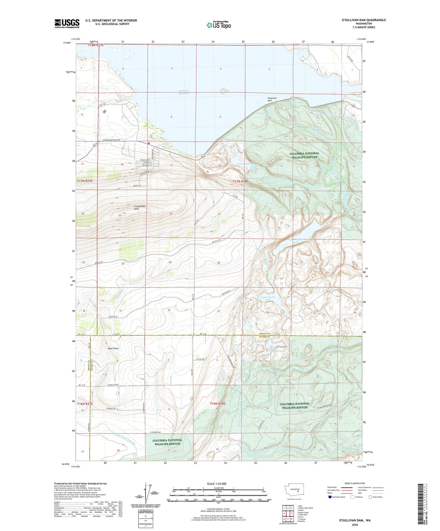
2023 topographic map quadrangle O'Sullivan Dam in the state of Washington. Scale: 1:24000. Based on the newly updated USGS 7.5' US Topo map series, this map is in the following counties: Grant, Adams. The map contains contour data, water features, and other items you are used to seeing on USGS maps, but also has updated roads and other features. This is the next generation of topographic maps. Printed on high-quality waterproof paper with UV fade-resistant inks.
Quads adjacent to this one:
West: Royal Camp
Northwest: Mae
North: Moses Lake South
Northeast: Sieler
East: Soda Lake
Southeast: Othello
South: Taunton
Southwest: Corfu
This map covers the same area as the classic USGS quad with code o46119h3.
Contains the following named places: Black Lake, Black Lake Dam, Black Lake-Upper, Blythe Lake, Chukar Lake, Columbia National Wildlife Refuge, Corral Lake, Coyote Lake, Falcon Lake, Frenchman Hills Wasteway, Goldeneye Lake, Goose Lake Wasteway, Grant County Fire District 11 Station 3, Hayes Creek, Heron Lake, Hutchinson Lake, Lind Coulee, Lost Lake, Lower Goose Lake, Lower Goose Lake Dam, Marine View, Marine View Census Designated Place, Marsh Unit One, Marsh Unit One Dam, O'Sullivan Dam, Potholes State Park, Rock Check IV-13 Dam, Rock Check IV-15 Dam, Rock Check IV-6 Dam, Seep Lakes Habitat Management Area, Shiner Lake, U and I McNary Number One Reservoir Dam, Upper Goose Lake


