MyTopo
Plain Washington US Topo Map
Couldn't load pickup availability
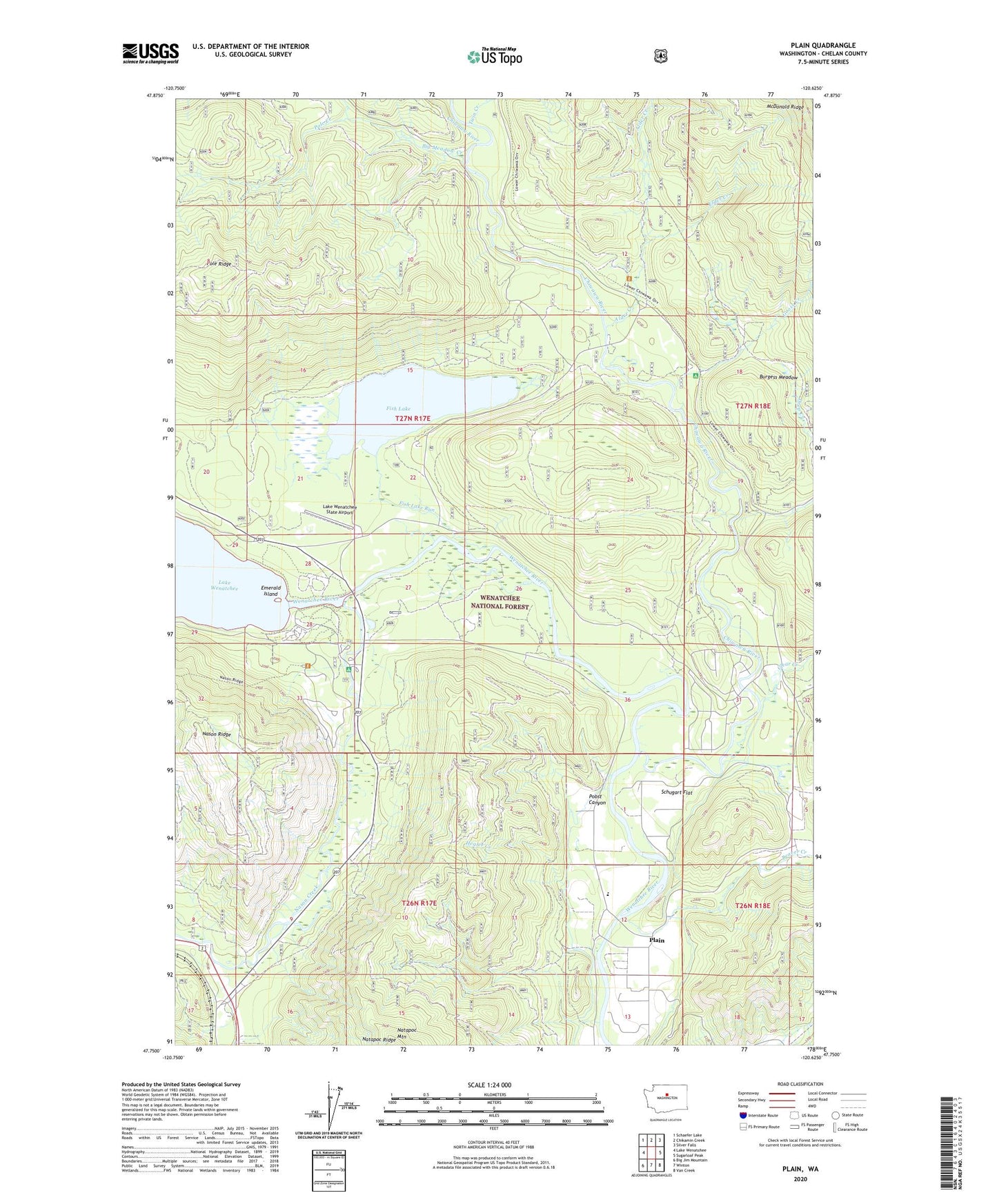
2020 topographic map quadrangle Plain in the state of Washington. Scale: 1:24000. Based on the newly updated USGS 7.5' US Topo map series, this map is in the following counties: Chelan. The map contains contour data, water features, and other items you are used to seeing on USGS maps, but also has updated roads and other features. This is the next generation of topographic maps. Printed on high-quality waterproof paper with UV fade-resistant inks.
Quads adjacent to this one:
West: Lake Wenatchee
Northwest: Schaefer Lake
North: Chikamin Creek
Northeast: Silver Falls
East: Sugarloaf Peak
Southeast: Van Creek
South: Winton
Southwest: Big Jim Mountain
Contains the following named places: Alder Creek, Alder Creek Horse Camp, Beaver Creek, Beaver Valley School, Big Meadow Creek, Burgess Meadow, Chiwawa River, Clear Creek, Coles Corner, Deep Creek, Deep Creek Campground, Elder Creek, Emerald Island, Fish Lake, Fish Lake Run, Fish Pond Campground, Goose Creek, Goose Creek Campground, Hegler Creek, Lake Wenatchee Sewage Treatment Plant, Lake Wenatchee State Airport, Lake Wenatchee State Park, Meadow Creek Campground, Nason Creek, Nason Creek Campground, Pearly Gates Ranch Airport, Plain, Plain Community Church, Pobst Canyon, Pole Creek, Schugart Flat, Twin Creek