
MyTopo
Spangle East Washington US Topo Map
Couldn't load pickup availability
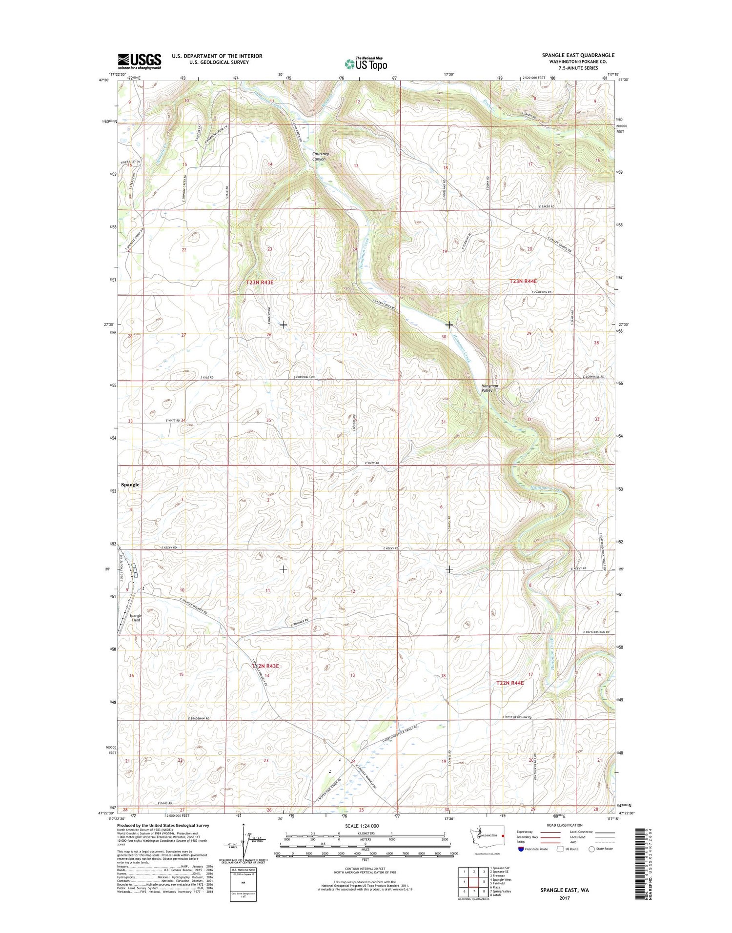
2020 topographic map quadrangle Spangle East in the state of Washington. Scale: 1:24000. Based on the newly updated USGS 7.5' US Topo map series, this map is in the following counties: Spokane. The map contains contour data, water features, and other items you are used to seeing on USGS maps, but also has updated roads and other features. This is the next generation of topographic maps. Printed on high-quality waterproof paper with UV fade-resistant inks.
Quads adjacent to this one:
West: Spangle West
Northwest: Spokane SW
North: Spokane SE
Northeast: Freeman
East: Fairfield
Southeast: Latah
South: Spring Valley
Southwest: Plaza
Contains the following named places: Courtney Canyon, George Wright Camp/Treaty Site, Hanging Tree Historical Monument, Liberty High School, Rock Creek, Spangle Field, Upper Columbia Academy, ZIP Code: 99031


