MyTopo
Spokane SE Washington US Topo Map
Couldn't load pickup availability
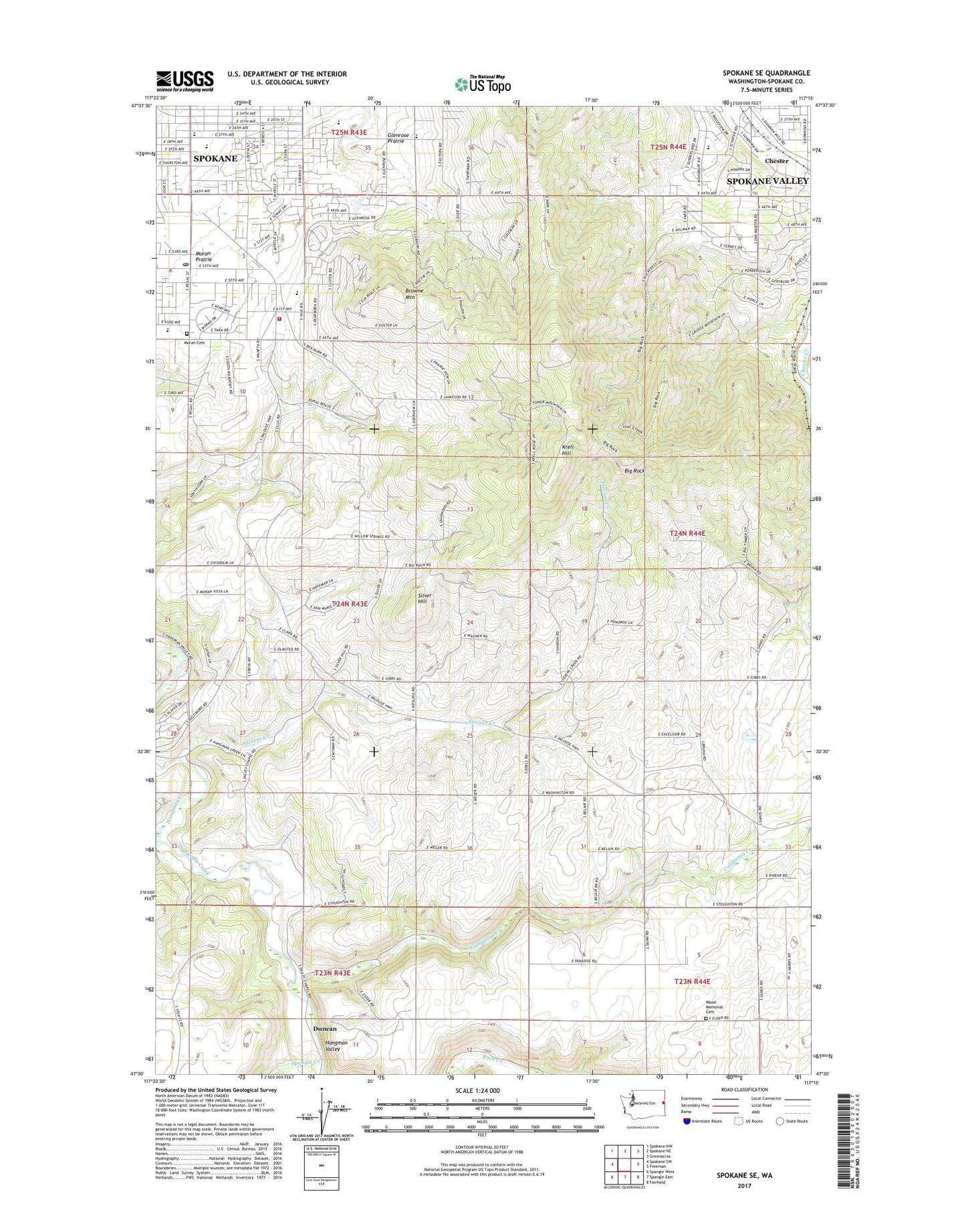
2023 topographic map quadrangle Spokane SE in the state of Washington. Scale: 1:24000. Based on the newly updated USGS 7.5' US Topo map series, this map is in the following counties: Spokane. The map contains contour data, water features, and other items you are used to seeing on USGS maps, but also has updated roads and other features. This is the next generation of topographic maps. Printed on high-quality waterproof paper with UV fade-resistant inks.
Quads adjacent to this one:
West: Spokane SW
Northwest: Spokane NW
North: Spokane NE
Northeast: Greenacres
East: Freeman
Southeast: Fairfield
South: Spangle East
Southwest: Spangle West
This map covers the same area as the classic USGS quad with code o47117e3.
Contains the following named places: Adams Elementary School, Big Rock, Browne Mountain, California Creek, Chester, Duncan, Excelsior, Ferris High School, Glenrose Prairie, Hangman Valley Golf Course, Hillby, Immaculate Heart Retreat, KAQQ-AM (Spokane), KAYU-TV (Spokane), KEWU-FM (Cheney), KEYF-FM (Cheney), KEZE-FM (Spokane), KGA-AM (Spokane), KHDL-AM (Opportunity), KHQ-TV (Spokane), Kiesling, KISC-FM (Spokane), KKZX-FM (Spokane), KMBI-AM (Spokane), Krell Hill, KREM-TV (Spokane), KSKN-TV (Spokane), KSPS-TV (Spokane), KTRW-AM (Spokane), KUDY-AM (Spokane), KXLY-AM (Spokane), KZZU-FM (Spokane), Moran, Moran Cemetery, Moran Prairie, Morning Star Ranch, Mullan Road Elementary School, Parkview, Piedmont, Regal Post Office, Sharon, Silver Hill, Spangle Creek, Spokane County Fire District 8 Station 81, Stevens Creek, Valleyford County Park, Willow Springs, Wood Memorial Cemetery, ZIP Codes: 99036, 99223