MyTopo
Sugarloaf Peak Washington US Topo Map
Couldn't load pickup availability
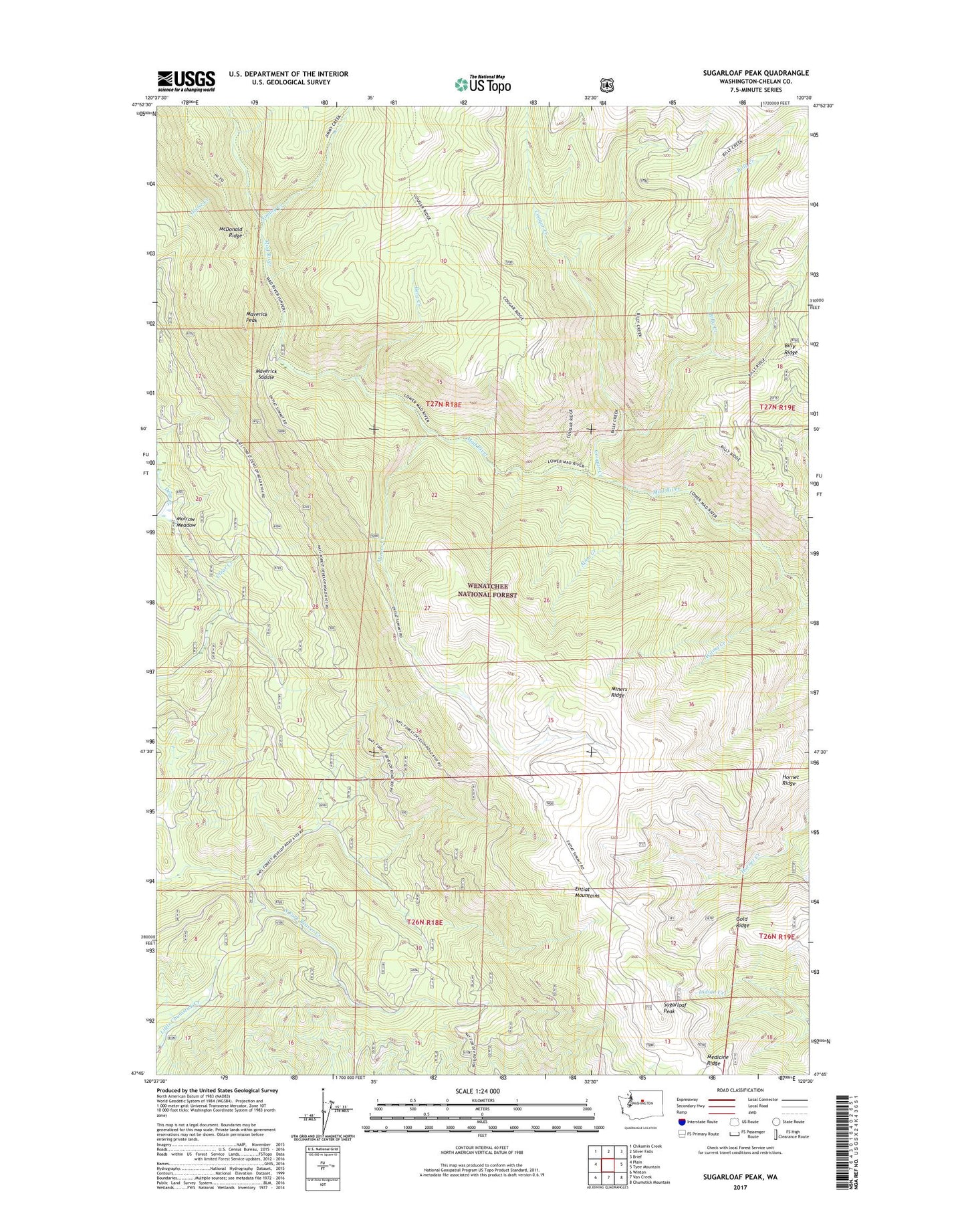
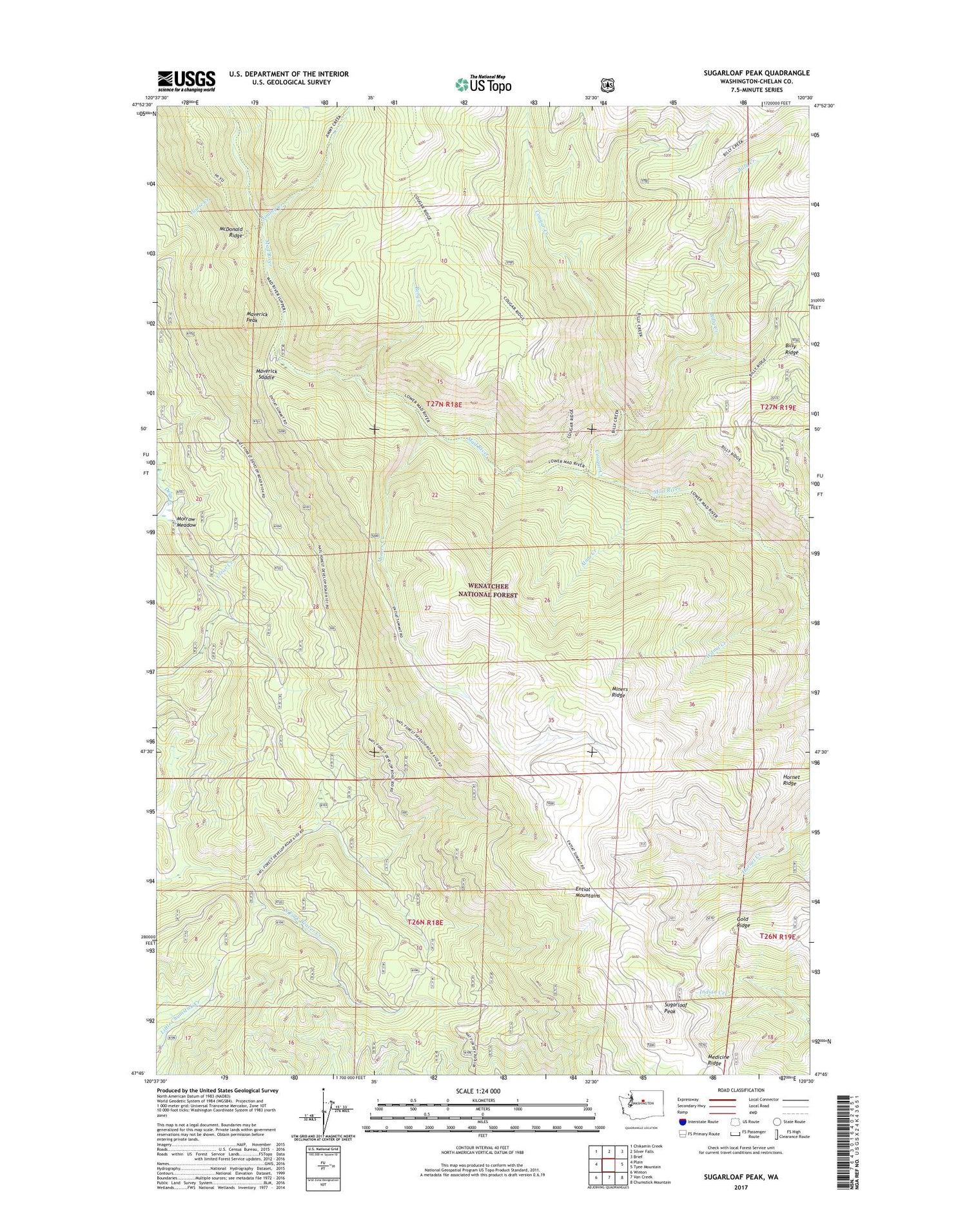
2020 topographic map quadrangle Sugarloaf Peak in the state of Washington. Scale: 1:24000. Based on the newly updated USGS 7.5' US Topo map series, this map is in the following counties: Chelan. The map contains contour data, water features, and other items you are used to seeing on USGS maps, but also has updated roads and other features. This is the next generation of topographic maps. Printed on high-quality waterproof paper with UV fade-resistant inks.
Quads adjacent to this one:
West: Plain
Northwest: Chikamin Creek
North: Silver Falls
Northeast: Brief
East: Tyee Mountain
Southeast: Chumstick Mountain
South: Van Creek
Southwest: Winton
Contains the following named places: Alma Creek, Berg Camp, Berg Creek, Billy Creek, Chelan County, Cougar Creek, Cougar Creek Shelter, Deer Camp Campsite, Entiat Mountains, Gold Ridge, Hornet Ridge, Jimmy Creek, Maverick Peak, Maverick Saddle, Medicine Ridge, Miners Corral, Miners Creek, Miners Ridge, Morrow Meadow, South Fork Beaver Creek, Sugarloaf Peak, Sugarloaf Peak Lookout, Wilma Creek