MyTopo
The Brothers Washington US Topo Map
Couldn't load pickup availability
Also explore the The Brothers Forest Service Topo of this same quad for updated USFS data
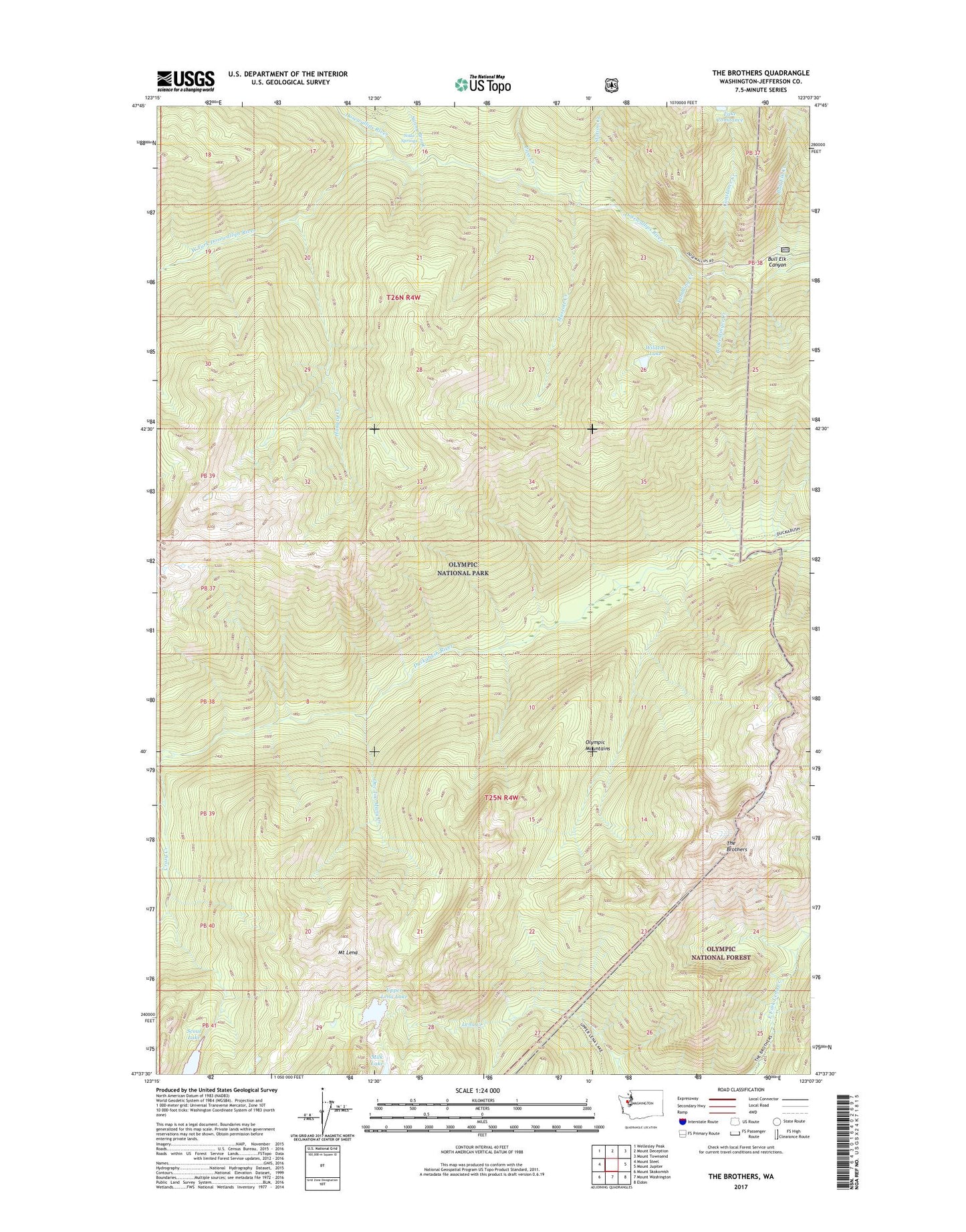
2023 topographic map quadrangle The Brothers in the state of Washington. Scale: 1:24000. Based on the newly updated USGS 7.5' US Topo map series, this map is in the following counties: Jefferson. The map contains contour data, water features, and other items you are used to seeing on USGS maps, but also has updated roads and other features. This is the next generation of topographic maps. Printed on high-quality waterproof paper with UV fade-resistant inks.
Quads adjacent to this one:
West: Mount Steel
Northwest: Wellesley Peak
North: Mount Deception
Northeast: Mount Townsend
East: Mount Jupiter
Southeast: Eldon
South: Mount Washington
Southwest: Mount Skokomish
This map covers the same area as the classic USGS quad with code o47123f2.
Contains the following named places: Brokenfinger Creek, Bull Elk Canyon, Bull Elk Creek, Constance Creek, Crazy Creek, Dose Forks Camp, Dosewallips Campground, Dosewallips Ranger Station, Hungry Creek, Mount Lena, Muscott Creek, One Too Many Creek, Pass Creek, Scout Lake, Soda Springs, Station Creek, Sunny Brook, Tenmile Camp, The Brothers, Tumbling Creek, Upper Lena Lake, West Fork Dosewallips River, Wildcat Lake