MyTopo
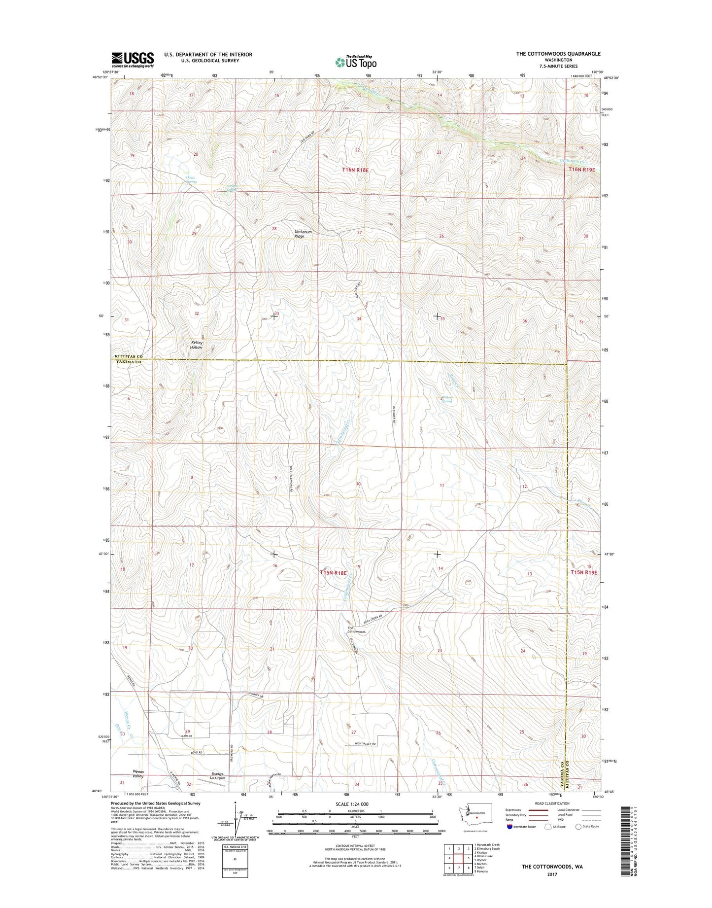
The Cottonwoods Washington US Topo Map
Couldn't load pickup availability
2023 topographic map quadrangle The Cottonwoods in the state of Washington. Scale: 1:24000. Based on the newly updated USGS 7.5' US Topo map series, this map is in the following counties: Yakima, Kittitas. The map contains contour data, water features, and other items you are used to seeing on USGS maps, but also has updated roads and other features. This is the next generation of topographic maps. Printed on high-quality waterproof paper with UV fade-resistant inks.
Quads adjacent to this one:
West: Wenas Lake
Northwest: Manastash Creek
North: Ellensburg South
Northeast: Kittitas
East: Wymer
Southeast: Pomona
South: Selah
Southwest: Naches
This map covers the same area as the classic USGS quad with code o46120g5.
Contains the following named places: Barnes Cabin, L T Murray State Wildlife Recreation Area, Longmire Wenas Canal, Oasis Spring, Shangri-La Airport, The Cottonwoods, Willow Spring, Wright Spring