MyTopo
Tyee Mountain Washington US Topo Map
Couldn't load pickup availability
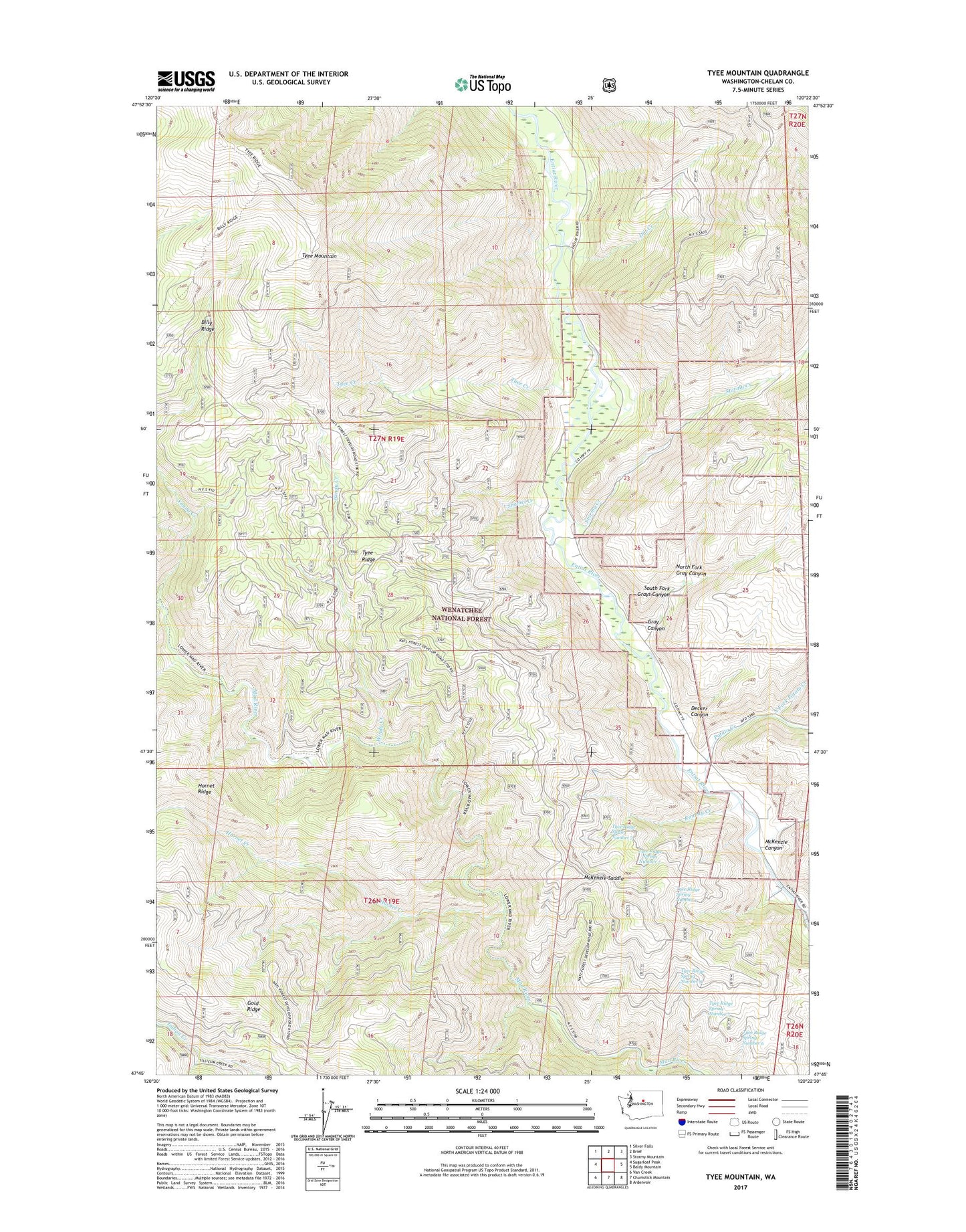
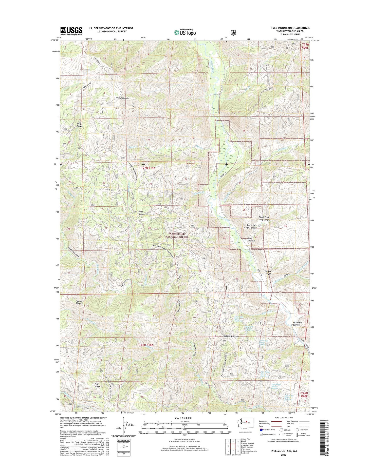
2020 topographic map quadrangle Tyee Mountain in the state of Washington. Scale: 1:24000. Based on the newly updated USGS 7.5' US Topo map series, this map is in the following counties: Chelan. The map contains contour data, water features, and other items you are used to seeing on USGS maps, but also has updated roads and other features. This is the next generation of topographic maps. Printed on high-quality waterproof paper with UV fade-resistant inks.
Quads adjacent to this one:
West: Sugarloaf Peak
Northwest: Silver Falls
North: Brief
Northeast: Stormy Mountain
East: Baldy Mountain
Southeast: Ardenvoir
South: Chumstick Mountain
Southwest: Van Creek
Contains the following named places: Billy Ridge, Camp Nine, Decker Canyon, Dill Creek, Entiat Division, Entiat Valley Ski Area, Gray Canyon, Hornet Creek, McKenzie Canyon, McKenzie Saddle, North Fork Gray Canyon, North Fork Potato Creek, Pine Flat Campground, Potato Creek, Roundy Creek, Shamel Creek, South Fork Grays Canyon, Stormy Creek, Tyee Creek, Tyee Mountain, Tyee Mountain Lookout, Tyee Ridge Spring Number 1, Tyee Ridge Spring Number 2, Tyee Ridge Spring Number 3, Tyee Ridge Spring Number 6, Tyee Ridge Spring Number 7, Tyee Ridge Spring Number 8, Windy Creek, Young Creek, Young Creek Shelter