MyTopo
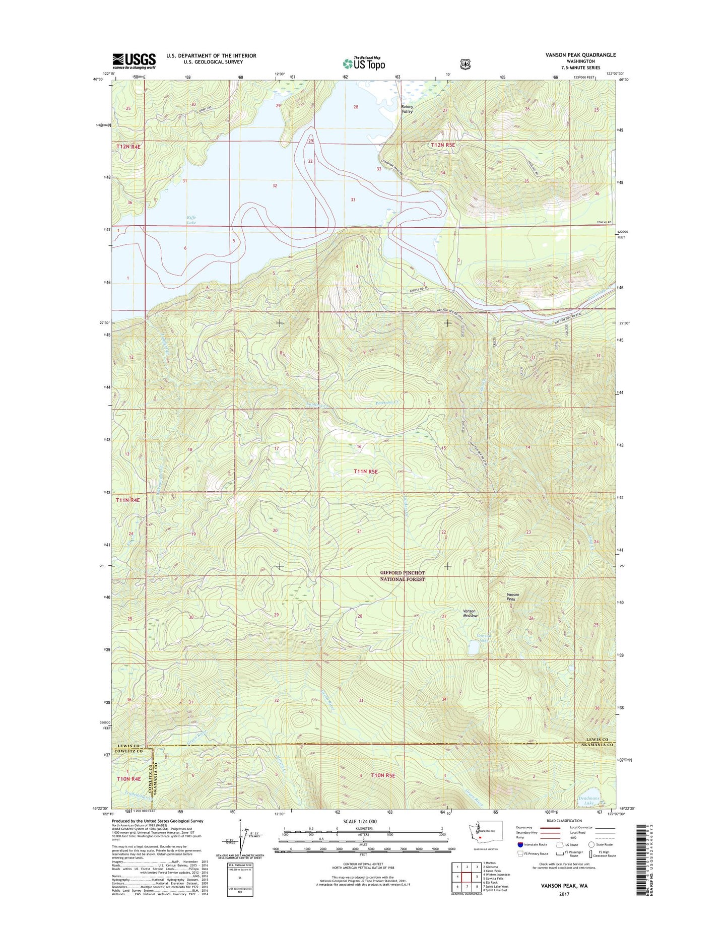
Vanson Peak Washington US Topo Map
Couldn't load pickup availability
Also explore the Vanson Peak Forest Service Topo of this same quad for updated USFS data
2023 topographic map quadrangle Vanson Peak in the state of Washington. Scale: 1:24000. Based on the newly updated USGS 7.5' US Topo map series, this map is in the following counties: Lewis, Skamania, Cowlitz. The map contains contour data, water features, and other items you are used to seeing on USGS maps, but also has updated roads and other features. This is the next generation of topographic maps. Printed on high-quality waterproof paper with UV fade-resistant inks.
Quads adjacent to this one:
West: Winters Mountain
Northwest: Morton
North: Glenoma
Northeast: Kiona Peak
East: Cowlitz Falls
Southeast: Spirit Lake East
South: Spirit Lake West
Southwest: Elk Rock
This map covers the same area as the classic USGS quad with code o46122d2.
Contains the following named places: Deadmans Lake, Falls Creek, Goat Creek, Green River Guard Station, Independence Mine, Kosmos, Landers Creek, Miners Creek, Peterson Creek, Rainey Creek, Sand Creek, Steffen Creek, Tradedollar Creek, Vanson Lake, Vanson Meadow, Vanson Peak, Wakeawasis Creek