MyTopo
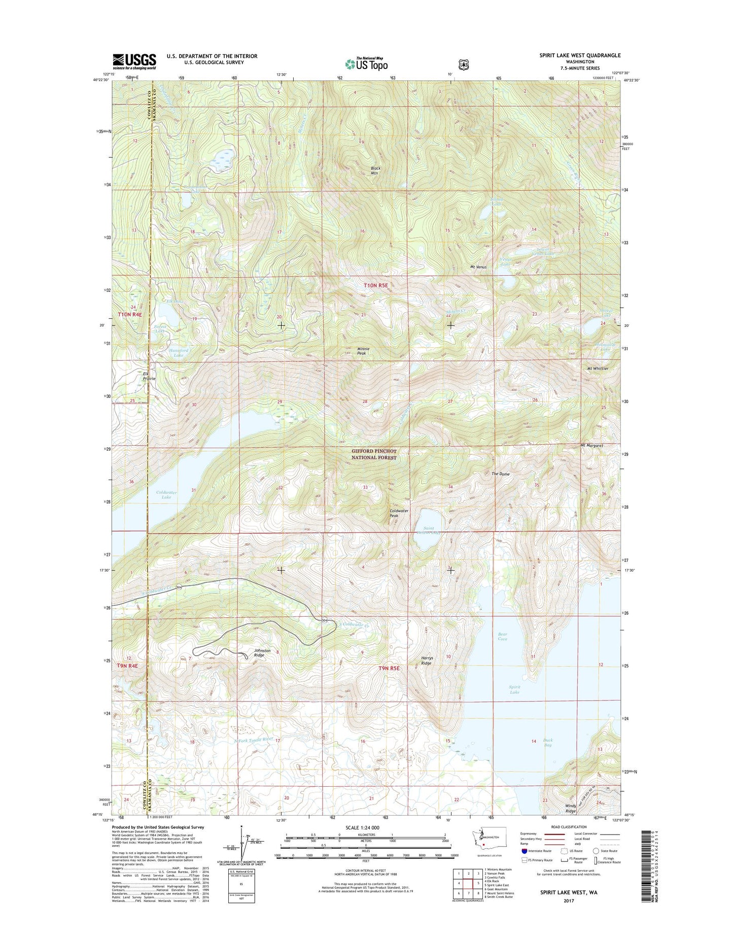
Spirit Lake West Washington US Topo Map
Couldn't load pickup availability
Also explore the Spirit Lake West Forest Service Topo of this same quad for updated USFS data
2023 topographic map quadrangle Spirit Lake West in the state of Washington. Scale: 1:24000. Based on the newly updated USGS 7.5' US Topo map series, this map is in the following counties: Skamania, Cowlitz. The map contains contour data, water features, and other items you are used to seeing on USGS maps, but also has updated roads and other features. This is the next generation of topographic maps. Printed on high-quality waterproof paper with UV fade-resistant inks.
Quads adjacent to this one:
West: Elk Rock
Northwest: Winters Mountain
North: Vanson Peak
Northeast: Cowlitz Falls
East: Spirit Lake East
Southeast: Smith Creek Butte
South: Mount Saint Helens
Southwest: Goat Mountain
This map covers the same area as the classic USGS quad with code o46122c2.
Contains the following named places: Bear Cove, Bear Cove Campground, Bear Creek, Black Mountain, Black Prince Mine, Coes Dam, Coldwater Lake, Coldwater Lookout, Coldwater Peak, Coldwater Trail, Deer Lake, Duck Bay, Duck Bay Boating Site, Elk Lake, Elk Prairie, Forest Lake, Hanaford Lake, Harmony Falls Landing, Harrys Ridge, Heart Lake, Holmstedt Lake, Island Lake, Johnston Ridge, Johnston Ridge Observatory, Lang Mine, Langes Crest, Lonesome Lake, Lower Venus Lake, Minnie Lee Mine, Minnie Peak, Mount Margaret, Mount Saint Helens National Volcanic Monument, Mount Venus, Mount Whittier, O'Conner Lake, Pumice Plain, Saint Helens Lake, Saint Helens Lodge, Shovel Lake, Snow Lake, Spirit Lake, Spirit Lake Forest Camp, Spirit Lake Lodge, Spirit Lake Post Office, Spirit Lake Ranger Station, The Dome, The Spillover, Tradedollar Lake, Venus Lake, Windy Ridge Viewpoint, ZIP Code: 98616