MyTopo
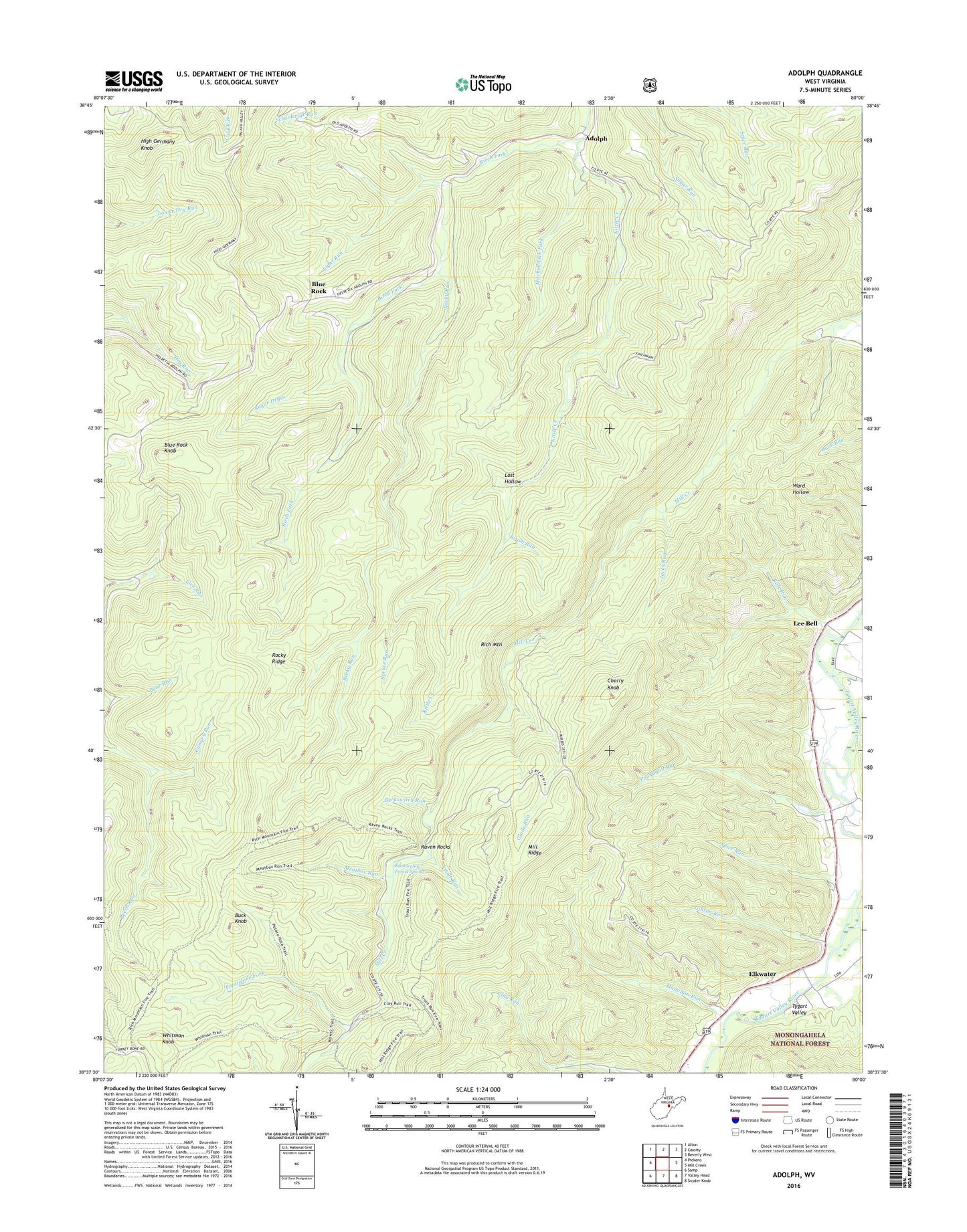
Adolph West Virginia US Topo Map
Couldn't load pickup availability
Also explore the Adolph Forest Service Topo of this same quad for updated USFS data
2023 topographic map quadrangle Adolph in the state of West Virginia. Scale: 1:24000. Based on the newly updated USGS 7.5' US Topo map series, this map is in the following counties: Randolph, Upshur. The map contains contour data, water features, and other items you are used to seeing on USGS maps, but also has updated roads and other features. This is the next generation of topographic maps. Printed on high-quality waterproof paper with UV fade-resistant inks.
Quads adjacent to this one:
West: Pickens
Northwest: Alton
North: Cassity
Northeast: Beverly West
East: Mill Creek
Southeast: Snyder Knob
South: Valley Head
Southwest: Samp
This map covers the same area as the classic USGS quad with code o38080f1.
Contains the following named places: Adolph, Becky Creek, Beech Run, Bennetts Camp, Berkswitch Run, Big Laurel Thicket, Birch Fork, Blue Rock, Blue Rock Knob, Brush Run, Buck Knob, Camp 9 Run, Camp Nine, Camp Tygart Dam, Catholic Rural Life and Retreat Center, Cherry Knob, Clay Run Trail, Elkwater, Elkwater Church, Gibson Run, Glade Run, Hamilton Run, High Germany Knob, Jacks Run, Kittle Creek, Kumbrabow Forest Spring, Kumbrabow State Forest, Lee Bell, Light Run, Lost Hollow, Meatbox Run, Middle Fork District, Mill Ridge Trail, Mitchell Lick Fork, Mowry Run Trail, Old Fort, Pleasant Chapel, Potatohole Fork, Poundmill Run, Rafe Run, Raven Rocks, Raven Rocks Trail, Rich Mountain, Rich Mountain Trail, Rocky Ridge, Rocky Run, Spanoak Corners, Spice Run, Spruce Run, Sugar Drain, Trout Run, Valley Chapel, Whitman Knob, Whitman Trail, ZIP Code: 26280


