MyTopo
Audra West Virginia US Topo Map
Couldn't load pickup availability
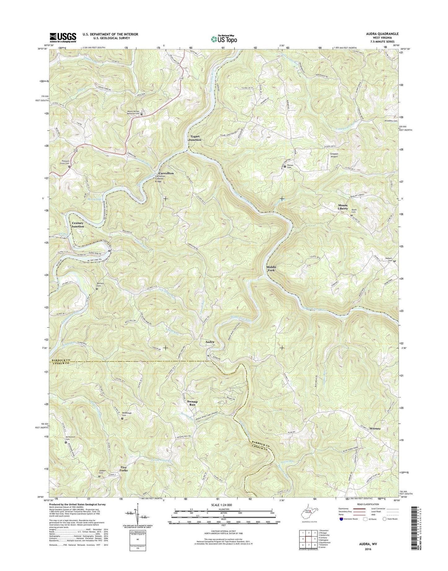
2023 topographic map quadrangle Audra in the state of West Virginia. Scale: 1:24000. Based on the newly updated USGS 7.5' US Topo map series, this map is in the following counties: Barbour, Upshur. The map contains contour data, water features, and other items you are used to seeing on USGS maps, but also has updated roads and other features. This is the next generation of topographic maps. Printed on high-quality waterproof paper with UV fade-resistant inks.
Quads adjacent to this one:
West: Century
Northwest: Brownton
North: Philippi
Northeast: Nestorville
East: Belington
Southeast: Junior
South: Ellamore
Southwest: Buckhannon
This map covers the same area as the classic USGS quad with code o39080a1.
Contains the following named places: Adma, Audra, Audra State Park, Azzens Run, Barbour Country Club Golf Course, Bartlett School, Bethany Baptist Church, Bethany Cemetery, Bethel Church, Big Run, Boulder, Buckhannon River, Campbell School, Carrollton, Carrollton Covered Bridge, Century Junction, Clements, Cottrill Run, First Big Run, Five Forks, Flat Woods School, Gower Run, Grace Chapel, Hall, Hall Station, Hanging Run, Holbert Cemetery, Independence, Independence Church of Christ, Independence School, Indian Fork, Island Run, Kerr School, Laurel Run, Lick Shoals Run, Lillian, Lovett Chapel, Low Gap School, Lower Indian Fork School, McCoy Lake, McDermott Cemetery, Middle Fork, Middle Fork River, Mount Hebron Church, Mount Hebron School, Mount Liberty, Mount Liberty Cemetery, Mount Olivet Church, Mount Vernon Memorial Cemetery, Mount Vernon United Methodist Church, O'Brien, Oldaker Cemetery, Pecks Run, Pitman Cemetery, Pleasant Grove Cemetery, Pleasant Grove Church, Pleasant Point School, Post School, Rangoon Post Office, Redabaugh Cemetery, Rock Springs School, Shockey School, Simpson Airport, Sipe School, Swamp Run, Swamp Run School, Tygart Junction, Union, Union School, Valley Dell School, Werner


