MyTopo
Nestorville West Virginia US Topo Map
Couldn't load pickup availability
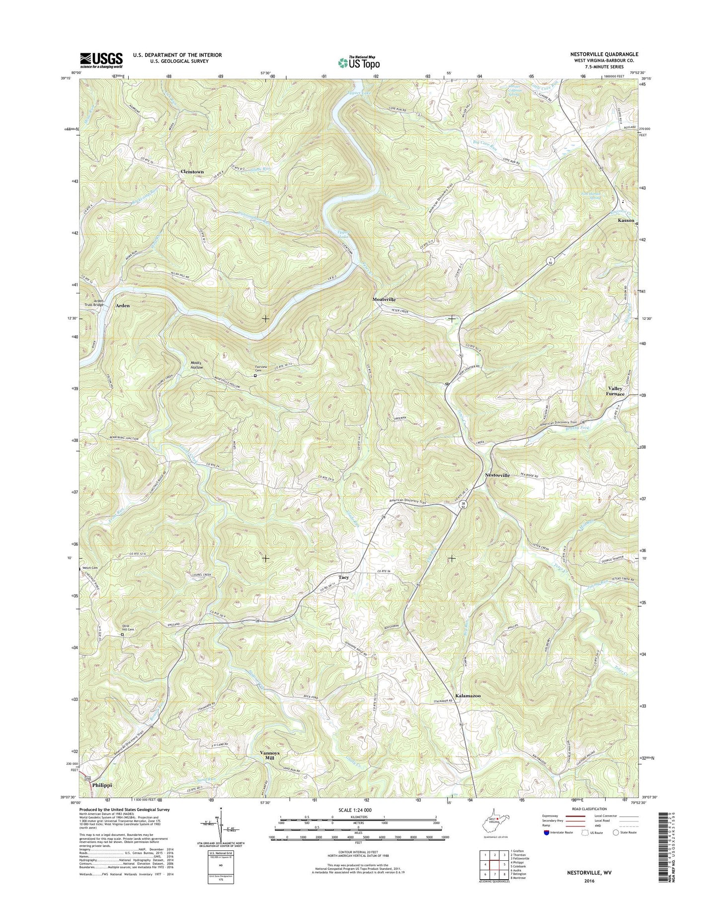
2023 topographic map quadrangle Nestorville in the state of West Virginia. Scale: 1:24000. Based on the newly updated USGS 7.5' US Topo map series, this map is in the following counties: Barbour. The map contains contour data, water features, and other items you are used to seeing on USGS maps, but also has updated roads and other features. This is the next generation of topographic maps. Printed on high-quality waterproof paper with UV fade-resistant inks.
Quads adjacent to this one:
West: Philippi
Northwest: Grafton
North: Thornton
Northeast: Fellowsville
East: Colebank
Southeast: Montrose
South: Belington
Southwest: Audra
This map covers the same area as the classic USGS quad with code o39079b8.
Contains the following named places: Arden, Arden Truss Bridge, Arden United Methodist Church, Big Cove Run, Big Run, Bonica Run, Boyle School, Brushy Fork, Camp Valley Church, Central Chapel Church, Chester Coffman Spring, Chestnut Grove School, Clemtown, Clemtown School, Corinth Church, Cove Run, Cove Run Station, Crossroads Church, Croston School, Cunningham Run, Dantown, Danville School, Evangelical Bible Church, Fairview Cemetery, Fairview Church, Felton School, Flat Run, Frost Run, Glade Run, Glady Creek, Hoffman School, Jimmy Run, Kalamazoo, Kasson, Kasson Elementary / Middle School, Kasson Post Office, Laurel Creek, Laurel Grove Church, Mariahs Church, Mill Run, Mitchell Run, Moats Hollow, Moatsville, Moatsville Post Office, Moatsville School, Mount Beulah School, Mount Contention Schoolhouse, Mount Zion Church, Nestorville, Nestorville School, New Hope Valley Church, New Moatsville, North District, Old Dutch Church, Olive Hill Cemetery, Olive Hill Church, Olive Hill School, Phelps School, Philippi Christian Academy, Pritchard Church, Pritchard School, Raccoon Creek, Riverdale School, Rock Ford Church, Rock Ford School, Saint Johns Church, Sand Run, Sand Run School, Souls Harbor Church, Stony Run, Sugar Creek, Tacy, Teter Creek, Tom Hardin Spring, Valley Furnace, Vannoys Mill, Welch Cemetery, White Oak Church, White Oak School, Wolf Run, ZIP Code: 26405


