MyTopo
Danese West Virginia US Topo Map
Couldn't load pickup availability
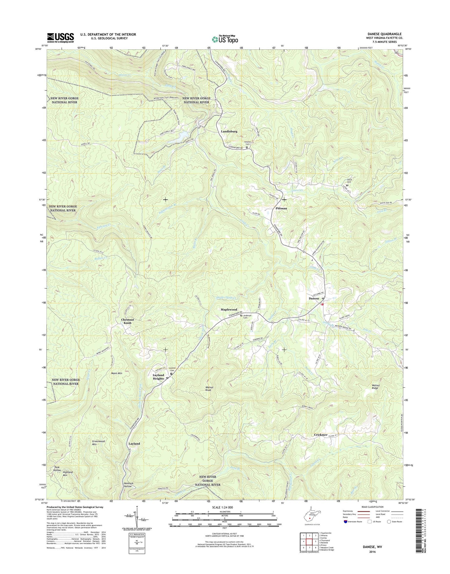
2023 topographic map quadrangle Danese in the state of West Virginia. Scale: 1:24000. Based on the newly updated USGS 7.5' US Topo map series, this map is in the following counties: Fayette. The map contains contour data, water features, and other items you are used to seeing on USGS maps, but also has updated roads and other features. This is the next generation of topographic maps. Printed on high-quality waterproof paper with UV fade-resistant inks.
Quads adjacent to this one:
West: Thurmond
Northwest: Fayetteville
North: Winona
Northeast: Corliss
East: Rainelle
Southeast: Meadow Bridge
South: Meadow Creek
Southwest: Prince
This map covers the same area as the classic USGS quad with code o37080h8.
Contains the following named places: Anderson Cemetery, Babcock State Park, Babcock State Park Lake Number One Dam, Bear Branch, Bucklick Branch, Burnt Creek, Butler Branch, Chesnut Knob School, Chestnut Knob, Crickmer, Danese, Danese Census Designated Place, Danese Christian Academy, Danese Elementary School, Danese Post Office, Danese School, Danese Volunteer Fire Department, Davis Branch, Ebenezer School, Ellison Branch, Fayette County Sheriff's Office Danese Detachment, Gibson Fork, Glade Creek, Glade Creek Grist Mill, Greenvalley Church, Greenwood, Greenwood Mountain, Hemlock Hollow, Hillside School, Kathryn, Landisburg, Laurel Creek, Layland, Layland Cemetery, Layland Church, Layland Heights, Layland Post Office, Lick Run, Long Branch, Loops Road Church, Mann Mountain, Mann Mountain Lookout Tower, Maplewood, Maplewood Church, Mill Brook Church, Oakvale Church, P A Shuck Cemetery, Pine Grove School, Pittman, Plum Grove School, Pole Creek, Pond Branch, Red Spring Creek, Rock of Ages School, Sandy Creek, Sandylick Branch, Shades Death Creek, Sidenstricker Branch, Smailes Cemetery, Smoky Branch, Terry Branch, Walnut Flat School, Walnut Knob, Walnut Knob School, Walnut Ridge, White Oak Church, WSWP-TV (Grandview), WVPB-FM (Beckley), Zickafoose Church, ZIP Code: 25831


