MyTopo
Girta West Virginia US Topo Map
Couldn't load pickup availability
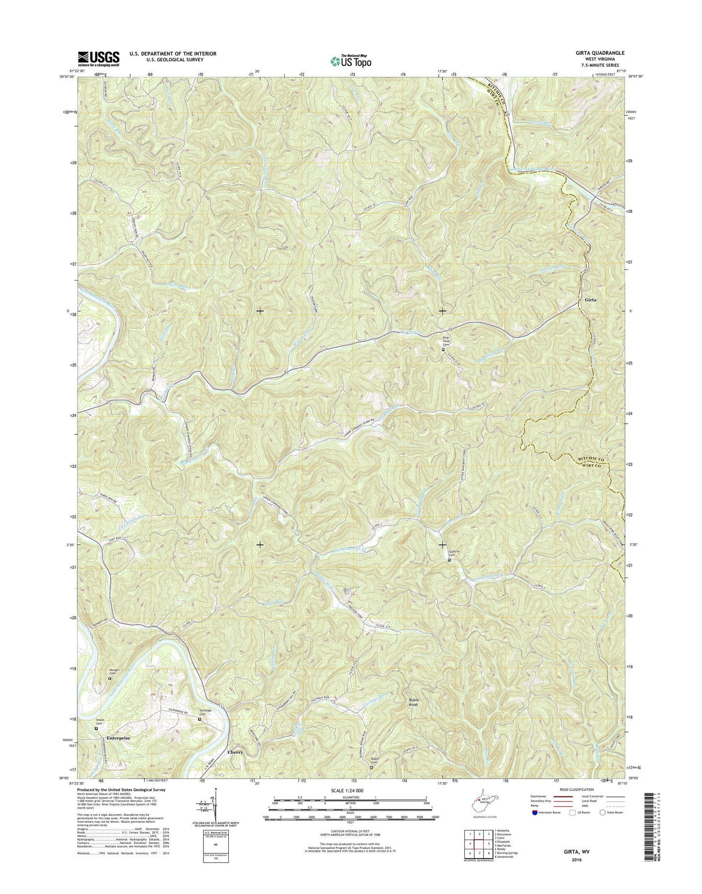
2023 topographic map quadrangle Girta in the state of West Virginia. Scale: 1:24000. Based on the newly updated USGS 7.5' US Topo map series, this map is in the following counties: Wirt, Ritchie. The map contains contour data, water features, and other items you are used to seeing on USGS maps, but also has updated roads and other features. This is the next generation of topographic maps. Printed on high-quality waterproof paper with UV fade-resistant inks.
Quads adjacent to this one:
West: Elizabeth
Northwest: Kanawha
North: Petroleum
Northeast: Cairo
East: MacFarlan
Southeast: Annamoriah
South: Burning Springs
Southwest: Reedy
This map covers the same area as the classic USGS quad with code o39081a3.
Contains the following named places: Big Island Run, Big Island Run Church, Brushy Fork, Brushy Fork School, Buck Run, Cave Run, Cedar Hill School, Cherry, Chestnut Run, Cool Spring Run, Cool Spring School, Deaver Fork, Drift Fork, Enterprise, Fall Run, Flint Run School, Girta, Guthrie Cemetery, Guthrie United Methodist Church, Henderson Run, Highlog Run, Horse Run, Hughes River Wildlife Management Area, Little Island Run School, Locust Run, Lower Island Run School, McFee Sulphur Spring, Morgan Cemetery, North Fork Hughes River, North Point School, Northeast District, Oil Rock Run, Oil Rock School, Otter Run, Owl Hill Methodist Church, Owl Hill School, Parish Fork, Parrish Fork School, Pine Twist Baptist Church, Pine Twist Cemetery, Pine Twist School, Rising Sun School, Rock Run School, Rockhold School, Ruble Cemetery, Ruble Knob, Saratoga Cemetery, Sergeant Run, Shiloh Cemetery, Shiloh Church, South Fork Hughes River, Standingstone Church, Standingstone Creek, Straight Fork, Trap Run, Upper Island Run School, Wesleyan Chapel, Wilson Fork, ZIP Code: 26143