MyTopo
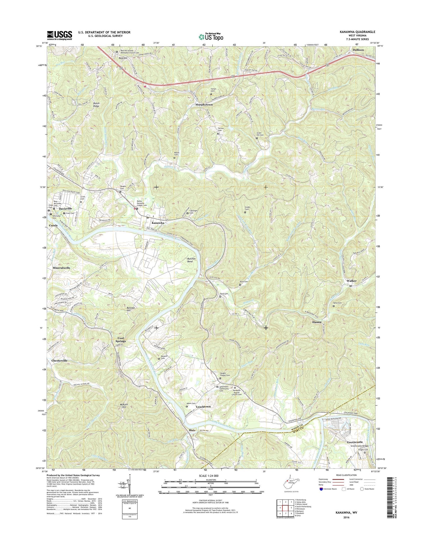
Kanawha West Virginia US Topo Map
Couldn't load pickup availability
2023 topographic map quadrangle Kanawha in the state of West Virginia. Scale: 1:24000. Based on the newly updated USGS 7.5' US Topo map series, this map is in the following counties: Wood, Wirt. The map contains contour data, water features, and other items you are used to seeing on USGS maps, but also has updated roads and other features. This is the next generation of topographic maps. Printed on high-quality waterproof paper with UV fade-resistant inks.
Quads adjacent to this one:
West: South Parkersburg
Northwest: Parkersburg
North: Valley Mills
Northeast: Willow Island
East: Petroleum
Southeast: Girta
South: Elizabeth
Southwest: Rockport
This map covers the same area as the classic USGS quad with code o39081b4.
Contains the following named places: A and O Farms Dam, Allen Run, Bailey - Kanawha Chapel Cemetery, Beeson Run, Beha Cemetery, Buckner Cemetery, Butcher Bend, Butcher Hill, Byrd Cemetery, Camp Run, Caplinger Cemetery, Chesterville, Clay District, Community Acres, Cool Springs, Cool Springs Golf Course, County Beagle Club, Cow Run, Creel Cemetery, Daley Run, Dallison, Davisville, Davisville Post Office, Deem Cemetery, Dutch Ridge, East Wood Volunteer Fire Department, Eastwood Volunteer Fire Department, Fairview School, Fall Run, Farrow Cemetery, Farson Cemetery, Fought Cemetery, Grant Hill Cemetery, Greencastle, Greencastle Bridge, Hanna, Hannaman Run, Hughes River, Kanawha, Kanawha Baptist Church Cemetery, Kanawha Census Designated Place, Kanawha Chapel, Kanawha Elementary School, Kanawha Station, Kincheloe Cemetery, Kites Run, Leachtown, Leachtown Community Cemetery, Leachtown School, Left Fork Kites Run, Left Fork Stillwell Creek, Little Stillwell Creek, Lost Run, Lower Stillwell School, McKusic Hill, Merrell Church, Millseat Run, Mount Cemetery, Mountain Flower School, Muddy Cut School, Murphytown, Murphytown Elementary School, Negro Run, North Fork Stillwell Creek, Oak Grove School, Pecks Ford, Red Hill, Red Hill School, Red Hill United Methodist Church, Red Hill United Methodist Church Cemetery, Right Fork Kites Run, Rock Run, Ross - McCardle Cemetery, Ross Church, Slate, Slate Creek, Slate District, Slate School, Snider Cemetery, Stillwell Church, Stillwell Creek, Stillwell School, Tug Fork, Tunnel Run, Valley View Acres, Vaughn Cemetery, Vaught Chapel, Vaught Chapel Cemetery, Walker, Walker Creek, Walker Elementary School, Walker Post Office, Weekleys, West Fork Creek, WXIL-FM (Parkersburg), ZIP Code: 26142


