MyTopo
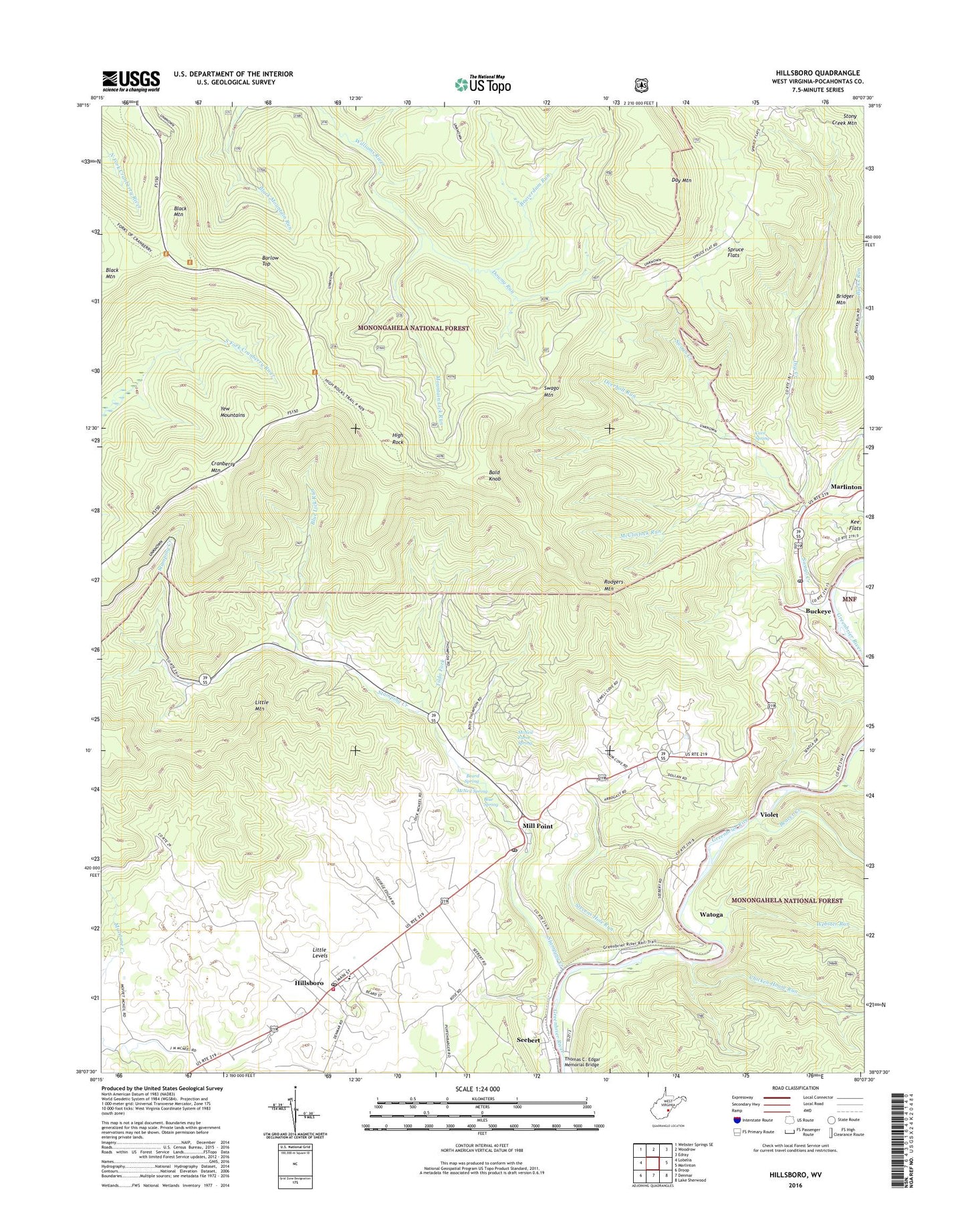
Hillsboro West Virginia US Topo Map
Couldn't load pickup availability
Also explore the Hillsboro Forest Service Topo of this same quad for updated USFS data
2023 topographic map quadrangle Hillsboro in the state of West Virginia. Scale: 1:24000. Based on the newly updated USGS 7.5' US Topo map series, this map is in the following counties: Pocahontas. The map contains contour data, water features, and other items you are used to seeing on USGS maps, but also has updated roads and other features. This is the next generation of topographic maps. Printed on high-quality waterproof paper with UV fade-resistant inks.
Quads adjacent to this one:
West: Lobelia
Northwest: Webster Springs SE
North: Woodrow
Northeast: Edray
East: Marlinton
Southeast: Lake Sherwood
South: Denmar
Southwest: Droop
This map covers the same area as the classic USGS quad with code o38080b2.
Contains the following named places: Advent Church, Bald Knob, Barlow Top, Beard Spring, Beaver Creek, Beaverdam Run, Beaverdam School, Black Mountain, Blue Lick Run, Blue Lick School, Blue Spring, Buckeye, Buckeye Post Office, Buckeye School, Bucks Run, Cave Spring, Chicken House Run, Cranberry Glades Overlook, Cranberry Mountain, Downy Run, Dry Creek, Dry Creek School, East Buckeye School, Grimes School, Hefner School, High Rock, Hillsboro, Hillsboro Elementary School, Hillsboro Post Office, Hillsboro Public Library, Hillsboro Volunteer Fire Department, Improvement Lick Run, Little Levels, Little Levels Emergency Ambulance Patrol, Little Mountain, Marvin United Methodist Church, McClintock Run, McNeel Mill, McNeil Farm Spring, McNeil Spring, Mill Point, Mill Point Post Office, Millstone Creek, Mountain Lick Run, Overholt Run, Pearl S Buck Birthplace, Pearl S. Buck Birthplace Museum, Pleasant Grove School, Raintown, Riverside School, Rodgers Mountain, Ruckman School, Seebert, Seebert United Methodist Church, Spruce Flats, Spruce Flats School, Stamping Creek, Stevens Hole Run, Swago Church, Swago Creek, Swago Mountain, Thomas C. Edgar Memorial Bridge, Tilda Fork, Town of Hillsboro, Trinity Church, Violet, Watoga, Webster Run, ZIP Code: 24924


