MyTopo
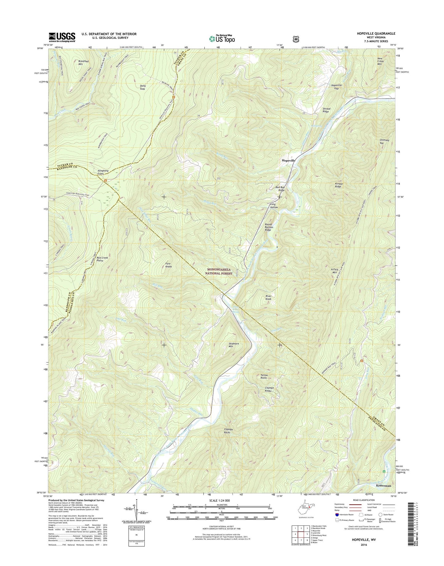
Hopeville West Virginia US Topo Map
Couldn't load pickup availability
Also explore the Hopeville Forest Service Topo of this same quad for updated USFS data
2023 topographic map quadrangle Hopeville in the state of West Virginia. Scale: 1:24000. Based on the newly updated USGS 7.5' US Topo map series, this map is in the following counties: Grant, Pendleton, Tucker, Randolph. The map contains contour data, water features, and other items you are used to seeing on USGS maps, but also has updated roads and other features. This is the next generation of topographic maps. Printed on high-quality waterproof paper with UV fade-resistant inks.
Quads adjacent to this one:
West: Laneville
Northwest: Blackwater Falls
North: Blackbird Knob
Northeast: Maysville
East: Petersburg West
Southeast: Mozer
South: Upper Tract
Southwest: Onego
This map covers the same area as the classic USGS quad with code o38079h3.
Contains the following named places: Bell Knob Lookout Tower, Big Run, Breathed Mountain, Broad Run, Carr School, Champe Knobs, Champe Rocks, Chimney Top, Dolly Sods Picnic Area, Fisher Spring Run, High Ridge Run, Hopeville, Hopeville Gap, Hopeville Post Office, Hopeville School, Jordan Run, Ketterman, Kimble Ridge, Long Hollow, Long Run, Maple Dale School, Mill Run, Mill Spring, Moyer Run, North Fork Church, Pleasant Valley Church, Powdermill Run, Red Bud Ridge, Red Creek Plains, Red Creek Trail, Redman Trail, River Knob, Round Bottom Ridge, Samuel Run, Sawmill Run, Shafter Run, Shroud Ridge, Skidmore Mountain, Smith Mountain School, South Prong Trail, Spruce Knob-Seneca Rocks National Recreation Area, Stonecoal Run, Tool Run, Trout Rocks Spring, Yellow Rocks, Zeke Run, ZIP Code: 26855


