MyTopo
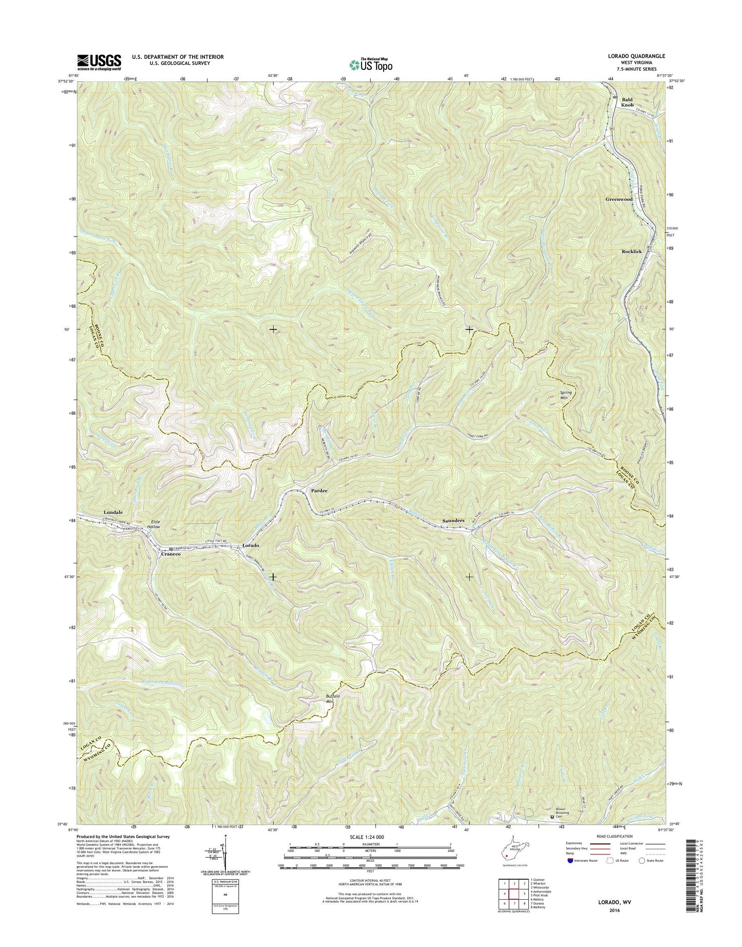
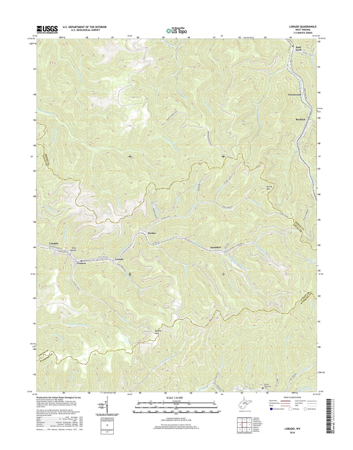
Lorado West Virginia US Topo Map
Couldn't load pickup availability
2019 topographic map quadrangle Lorado in the state of West Virginia. Scale: 1:24000. Based on the newly updated USGS 7.5' US Topo map series, this map is in the following counties: Boone, Logan, Wyoming. The map contains contour data, water features, and other items you are used to seeing on USGS maps, but also has updated roads and other features. This is the next generation of topographic maps. Printed on high-quality waterproof paper with UV fade-resistant inks.
Quads adjacent to this one:
West: Amherstdale
Northwest: Clothier
North: Wharton
Northeast: Whitesville
East: Pilot Knob
Southeast: Matheny
South: Oceana
Southwest: Mallory
Contains the following named places: Bald Knob, Bald Knob Post Office, Beartree Branch, Big Abe Fork, Bright Prospect Church, Brown-Browning Cemetery, Buffalo Mountain, Camp Branch, Castle Branch, Coal Branch, Craneco, Curtis Church, Davy Branch, Dennison Fork, Dingess Branch, Elklick Branch, Elsie Hollow, Greenwood, James Branch, Jasper Workman Branch, Jordan Fork, Laurel Branch, Lee Fork, Lorado, Lorado Census Designated Place, Lorado Post Office, Lundale, Meredith Branch, Middle Fork Buffalo Creek, New Zion Church, North Fork Buffalo Creek, Pardee, Road Branch Elementary and Middle School, Road Fork, Rocklick, Rocklick Branch, Saunders, Slickrock Branch, Spring Mountain, Spring Mountain Lookout Tower, Sycamore Creek, Toney Fork, Trace Fork, Upper Lick Branch, Upper Road Branch, ZIP Codes: 24827, 25208, 25630