MyTopo
Matheny West Virginia US Topo Map
Couldn't load pickup availability
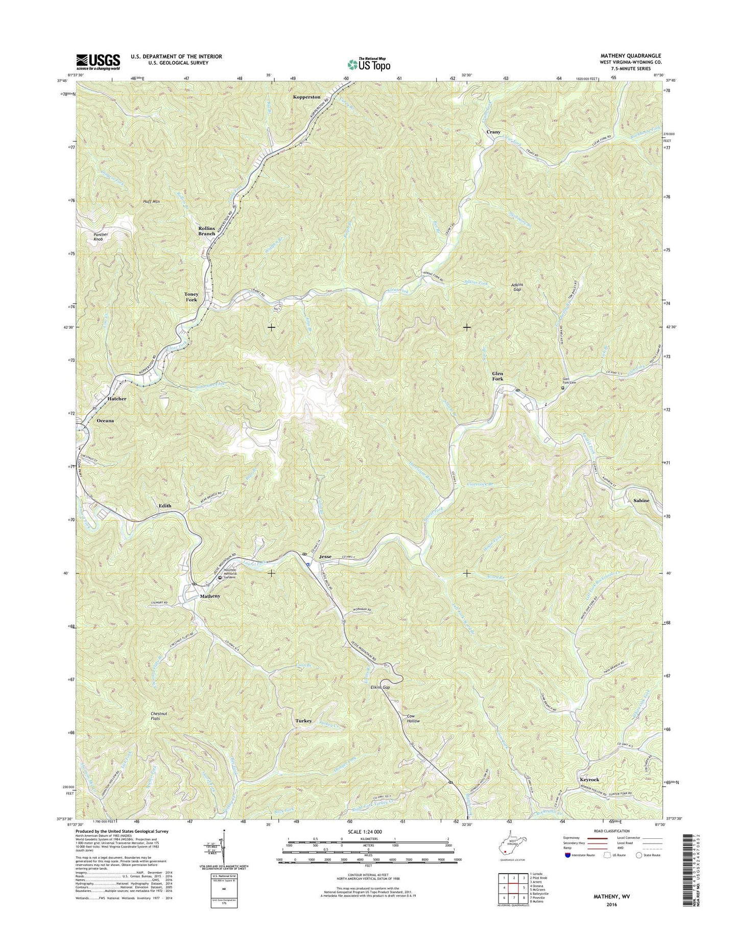
2023 topographic map quadrangle Matheny in the state of West Virginia. Scale: 1:24000. Based on the newly updated USGS 7.5' US Topo map series, this map is in the following counties: Wyoming. The map contains contour data, water features, and other items you are used to seeing on USGS maps, but also has updated roads and other features. This is the next generation of topographic maps. Printed on high-quality waterproof paper with UV fade-resistant inks.
Quads adjacent to this one:
West: Oceana
Northwest: Lorado
North: Pilot Knob
Northeast: Arnett
East: McGraws
Southeast: Mullens
South: Pineville
Southwest: Baileysville
This map covers the same area as the classic USGS quad with code o37081f5.
Contains the following named places: Acord Branch, Adkins Fork, Adkins Gap, Bear Branch, Bee Branch, Bee Fork, Berlin McKinney Elementary School, Big Branch, Brenton Church, Buck Fork, Cabin Branch, Chestnut Flats, Chestnut Flats Branch, Cloverlick Branch, Coon Branch, Coon Fork Church, Cow Creek, Cow Hollow, Crane Fork, Crany, Crany Baptist Church, Curry Branch, Edith, Elkins Branch, Elkins Gap, Glen Fork, Glen Fork Cemetery, Glen Fork Census Designated Place, Glen Fork Elementary and Middle School, Glen Fork Post Office, Guyandotte Baptist Church, Hatcher, Hillcrest Memorial Gardens, House Fork, Hurricane Branch, Jesse, Jesse Post Office, Jims Branch, John O Branch, Keyrock, Keyrock Church, Kopperston, Kopperston Church, Kopperston Number Three Impoundment Number Two, Laurel Branch, Laurel Fork, Laurel Park, Left Fork Acord Branch, Left Fork Rockcastle Creek, Lick Branch, Lick Fork, Matheny, Matheny Census Designated Place, Matheny Post Office, Oceana, Olinger Fork, Panther Knob, Ralph Branch, Rock View Post Office, Rockhouse Fork, Rollins Branch, Russell Church, Sabine, Simmons Fork, Sow Branch, Sycamore Branch, Tom Bailey Branch, Toney Fork, Turkey, Turkey Ridge Church, Turkey Ridge Independent Baptist, West Virginia State Police Troop 6 - Jesse Detachment, White Oak Fork, Wolfpen Branch, ZIP Codes: 24849, 24854, 24860, 24880, 25845


