MyTopo
Mozark Mountain West Virginia US Topo Map
Couldn't load pickup availability
Also explore the Mozark Mountain Forest Service Topo of this same quad for updated USFS data
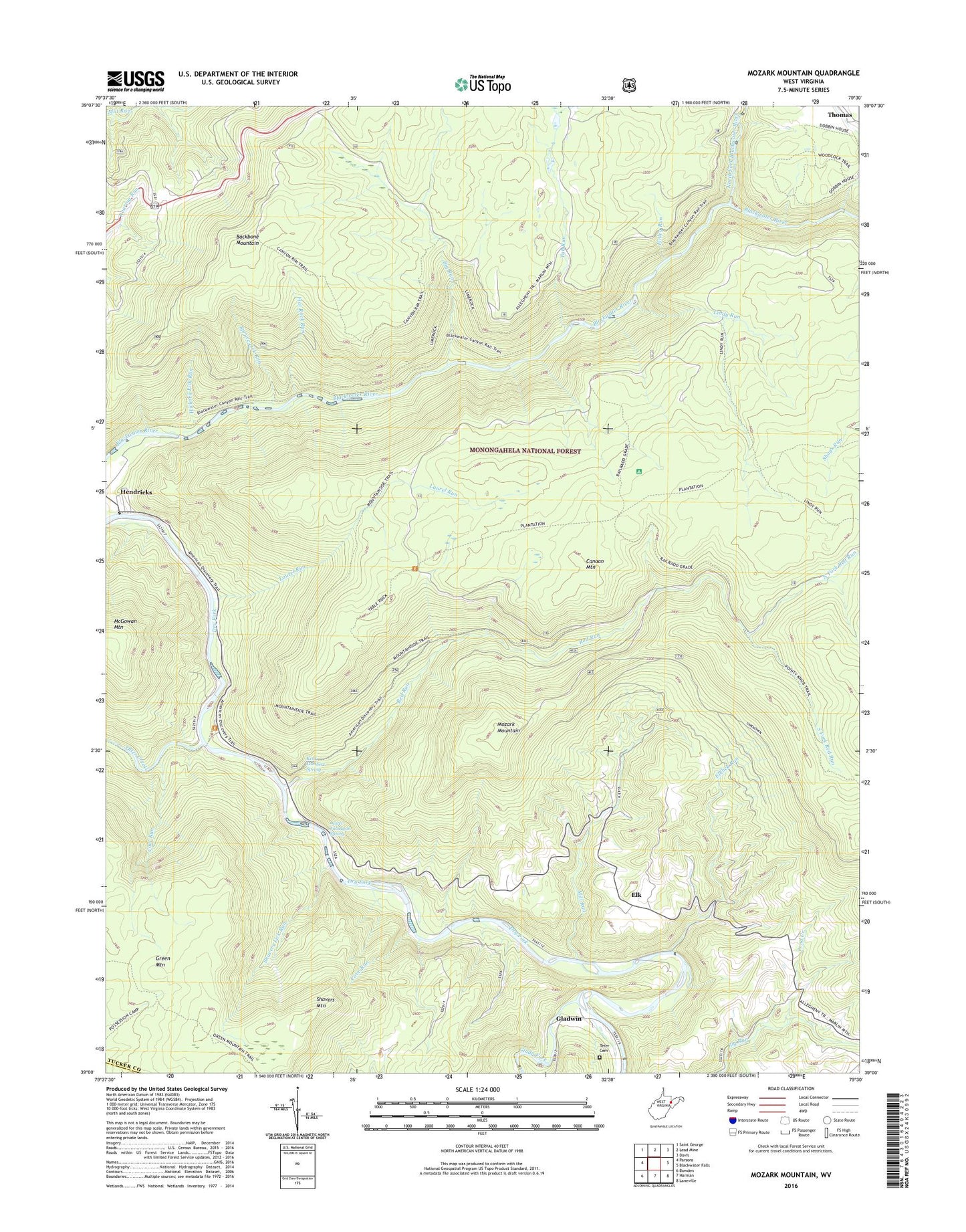
2023 topographic map quadrangle Mozark Mountain in the state of West Virginia. Scale: 1:24000. Based on the newly updated USGS 7.5' US Topo map series, this map is in the following counties: Tucker, Randolph. The map contains contour data, water features, and other items you are used to seeing on USGS maps, but also has updated roads and other features. This is the next generation of topographic maps. Printed on high-quality waterproof paper with UV fade-resistant inks.
Quads adjacent to this one:
West: Parsons
Northwest: Saint George
North: Lead Mine
Northeast: Davis
East: Blackwater Falls
Southeast: Laneville
South: Harman
Southwest: Bowden
This map covers the same area as the classic USGS quad with code o39079a5.
Contains the following named places: Backbone Mountain, Bennet Rock Trail, Big Run, Boundary Trail, Brights Chapel, Canyon Rim Trail, Cascade School, Cave Run, Coal Run, Elk, Elklick Run, Finley Run, Flat Rock Run, Flat Rock Trail, Gladwin, Glady Fork, Green Mountain, Hickory Lick Run, Kent Lambert Spring, Laurel Run, Lester Falnagan Spring, Lime Rock, Lime Rock School, Limerock Trail, Lindy Run, Lindy Run Trail, Mackeyville, Mackeyville Church, Mackeyville School, Mill Run, Mill Run Church, Mill Run School, Mountain Side Trail, Mozark Mountain, North Fork Blackwater River, North Fork Red Run, Olson Lookout Tower, Otter Creek, Otter Creek School, Pendleton Creek, Plantation Trail, Pond Creek, Red Run, Red Run Station, Richford, Rosendorf, Shavers Lick Run, Shavers Mountain School, South Fork Red Run, Spruce Lick Run, Teter Cemetery, Tub Run, Tucker County, ZIP Codes: 26269, 26271