MyTopo
Nettie West Virginia US Topo Map
Couldn't load pickup availability
Also explore the Nettie Forest Service Topo of this same quad for updated USFS data
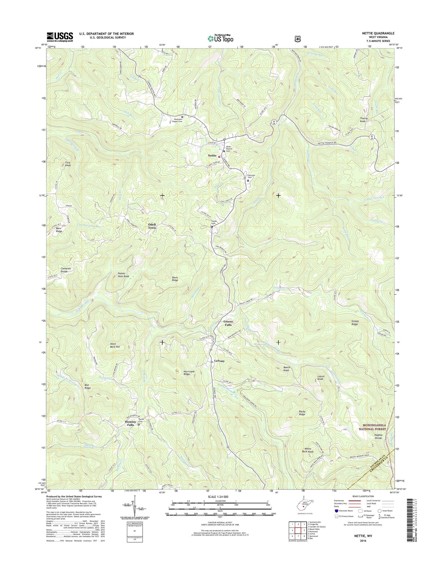
2023 topographic map quadrangle Nettie in the state of West Virginia. Scale: 1:24000. Based on the newly updated USGS 7.5' US Topo map series, this map is in the following counties: Nicholas, Greenbrier. The map contains contour data, water features, and other items you are used to seeing on USGS maps, but also has updated roads and other features. This is the next generation of topographic maps. Printed on high-quality waterproof paper with UV fade-resistant inks.
Quads adjacent to this one:
West: Mount Nebo
Northwest: Summersville
North: Craigsville
Northeast: Camden On Gauley
East: Richwood
Southeast: Duo
South: Quinwood
Southwest: Corliss
This map covers the same area as the classic USGS quad with code o38080b6.
Contains the following named places: Barn Ridge, Beckley Chapel, Beech Knob, Bowen Run, Brushy Meadow Creek, Chestnut Lick Run, Clements Divide, Conn Run, Cranes Nest Run, Davis Ridge, Dawson School, Downtain Chapel, Downtain Chapel Cemetery, Eureka Church, Fairview Cemetery, Fields Cemetery, Fury Knob, Geho Run, Grassy Creek, Grassy Creek School, Grassy Falls, Grassy Ridge, Holcomb Run, Hominy Falls, Hughey Divide, Hurricane Ridge, Jims Branch, Kentucky District, Laurel Knob, Leivasy, Leivasy Elementary School, Leivasy Post Office, Lick Run, Line Laurel Creek, Lowland, Mayflower School, Middle Ridge, Mount Zion Church, Nettie, Nettie Census Designated Place, Nettie Elementary School, Nettie Post Office, Nettie Volunteer Fire Department, Nettle Run, New Prospect Church, New Testament Baptist Church, North Run, Odell School, Odell Spring Branch, Odell Town, Olive Branch Baptist Church Cemetery, Olive Branch Church, Ophelia, Packlets Creek, Panther Creek Elementary School, Penile Cemetery, Penile Church, Potato Hole Knob, Quinwood Emergency Ambulance Service Nettie, Riley Branch, Roaring Creek, Rocky Ridge, Short Back Hill, Skelt Run, Sugar Branch, Thorny Knob, Thorny Knob School, Tolbert, Tolbert School, Trout Valley School, Wahoo School, White Buck Knob, White Buck School, ZIP Codes: 26202, 26676, 26681


