MyTopo
Camden On Gauley West Virginia US Topo Map
Couldn't load pickup availability
Also explore the Camden On Gauley Forest Service Topo of this same quad for updated USFS data
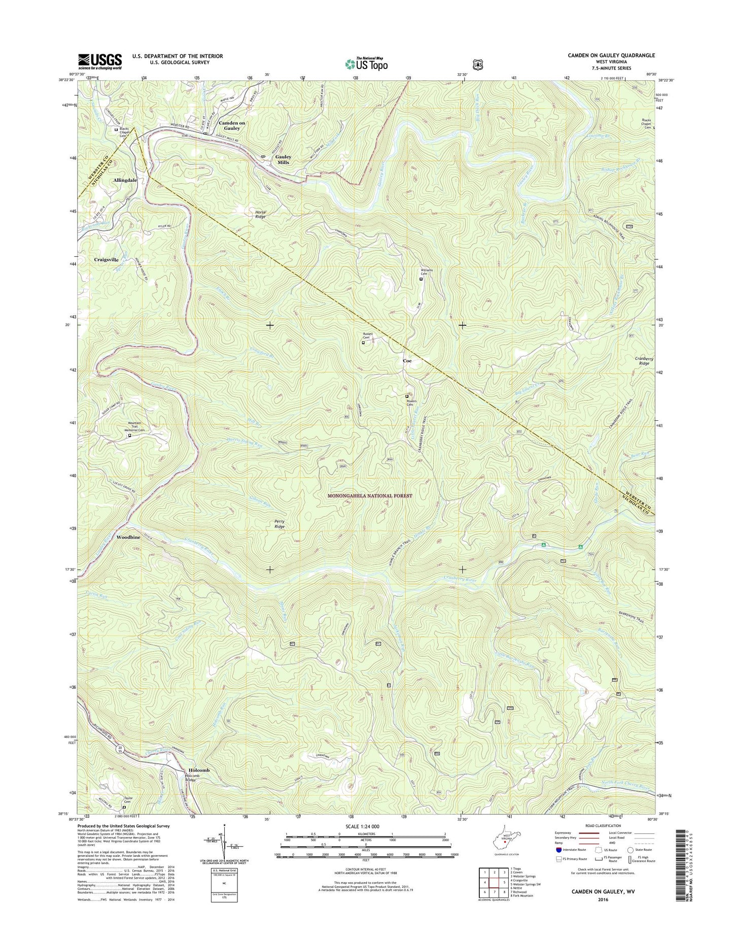
2023 topographic map quadrangle Camden On Gauley in the state of West Virginia. Scale: 1:24000. Based on the newly updated USGS 7.5' US Topo map series, this map is in the following counties: Nicholas, Webster. The map contains contour data, water features, and other items you are used to seeing on USGS maps, but also has updated roads and other features. This is the next generation of topographic maps. Printed on high-quality waterproof paper with UV fade-resistant inks.
Quads adjacent to this one:
West: Craigsville
Northwest: Tioga
North: Cowen
Northeast: Webster Springs
East: Webster Springs SW
Southeast: Fork Mountain
South: Richwood
Southwest: Nettie
This map covers the same area as the classic USGS quad with code o38080c5.
Contains the following named places: Adkin Rockhouse Trail, Adkins Rockhouse Branch, Allingdale, Alto Visto School, Anderson School, Barrenshe Run, Bear Run, Beaver District, Bee Run, Big Ditch Run, Big Laurel Creek, Big Rock Campground, Bishop Rockhouse Branch, Blacks Chapel, Blacks Chapel Cemetery, Buckeye Branch, Buckeye School, Camden on Gauley, Camden on Gauley Post Office, Camp Splinter, Cherry Hill Country Club Golf Course, Coe, Coon Creek, Cranberry Ridge Trail, Cranberry River, Crawford Branch, Enoch Branch, Gauley Mills, Gauley Mills Post Office, Gibson Run, Glade Run, Glade Run Lake Dam, Grassy Run, Half Acre Bethel Church, Harris Siding, Harris Siding Run, Harris Siding Trail, Hinkle Branch, Hinkle Branch Trail, Hinkle School, Holcomb, Holcomb Bridge, Holcomb Run, Horse Ridge, Jackeman Run, Joes Branch, Kree Run, Lincamp Branch, Little Barrenshe Run, Little Bee Run, Little Laurel Run, McFarlane Chapel, Mill Branch, Mill Fork, Morris Creek, Mountain Trail Memorial Cemetery, Mullen School, Music Run, Nicholas School, Perry Ridge, Perry Ridge Trail, Powers Cemetery, Rockcamp Run, Russell Cemetery, Saint Marys Church, Spruce Run, Strouds Creek, Taylor Cemetery, Town of Camden-on-Gauley, Williams Cemetery, Woodbine, Woodbine Picnic Area, ZIP Code: 26208


