MyTopo
Tioga West Virginia US Topo Map
Couldn't load pickup availability
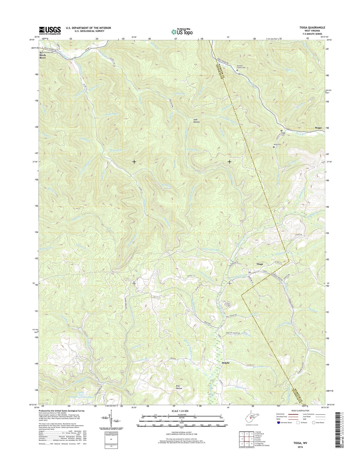
2023 topographic map quadrangle Tioga in the state of West Virginia. Scale: 1:24000. Based on the newly updated USGS 7.5' US Topo map series, this map is in the following counties: Nicholas, Webster. The map contains contour data, water features, and other items you are used to seeing on USGS maps, but also has updated roads and other features. This is the next generation of topographic maps. Printed on high-quality waterproof paper with UV fade-resistant inks.
Quads adjacent to this one:
West: Widen
Northwest: Herold
North: Little Birch
Northeast: Erbacon
East: Cowen
Southeast: Camden On Gauley
South: Craigsville
Southwest: Summersville
This map covers the same area as the classic USGS quad with code o38080d6.
Contains the following named places: Amos Cemetery, Anthony Creek, Anthony Creek School, Armstrong Cemetery, Barnet Run, Barnet Run School, Barnett Family Cemetery, Bearpen Fork, Big Run, Bills Branch, Birch River Census Designated Place, Birch River Elementary School, Board Fork, Boggs, Boggs Cemetery, Bragg Run, Buck Branch, Cabin Run, Cat Run, Clear Fork, Cobb Run, Crooked Run, Delphi, Delphi United Methodist Church, Dryhouse Run, Falls Run, Gauley Eagle Number Four Impoundment, Gauley Eagle Slurry Impoundment, Gauley Eagle Slurry Pond Dam, Golden Branch, Harris Fork, Hog Rock Branch, Horse Run, Jane Branch, Josh Hollow, Kettle Run, Laurel Fork, Laurel Lick Run, Left Fork Big Beaver Creek, Left Fork Poplar Creek, Lick Fork, Lower Cabin Run, Lower Laurel Run, Lowry Branch, Maston Run, Ming Run, Mud Fork, Mudlick Run, Norton Branch, O'Brien Fork, Oldhe Fork, Paddy Run, Panther Lick Branch, Poplar Creek, Poplar Creek School, Rader Chapel, Red Oak Branch, Rich Fork, Road Fork, Rockhouse Run, Simmons Branch, Slide Branch, Sugarcamp Run, Tioga, Tioga Census Designated Place, Tioga Post Office, Tioga United Methodist Church, Upper Laurel Run, Walnut Fork, Walnut Grove Chapel, ZIP Codes: 26610, 26691


