MyTopo
Webster Springs West Virginia US Topo Map
Couldn't load pickup availability
Also explore the Webster Springs Forest Service Topo of this same quad for updated USFS data
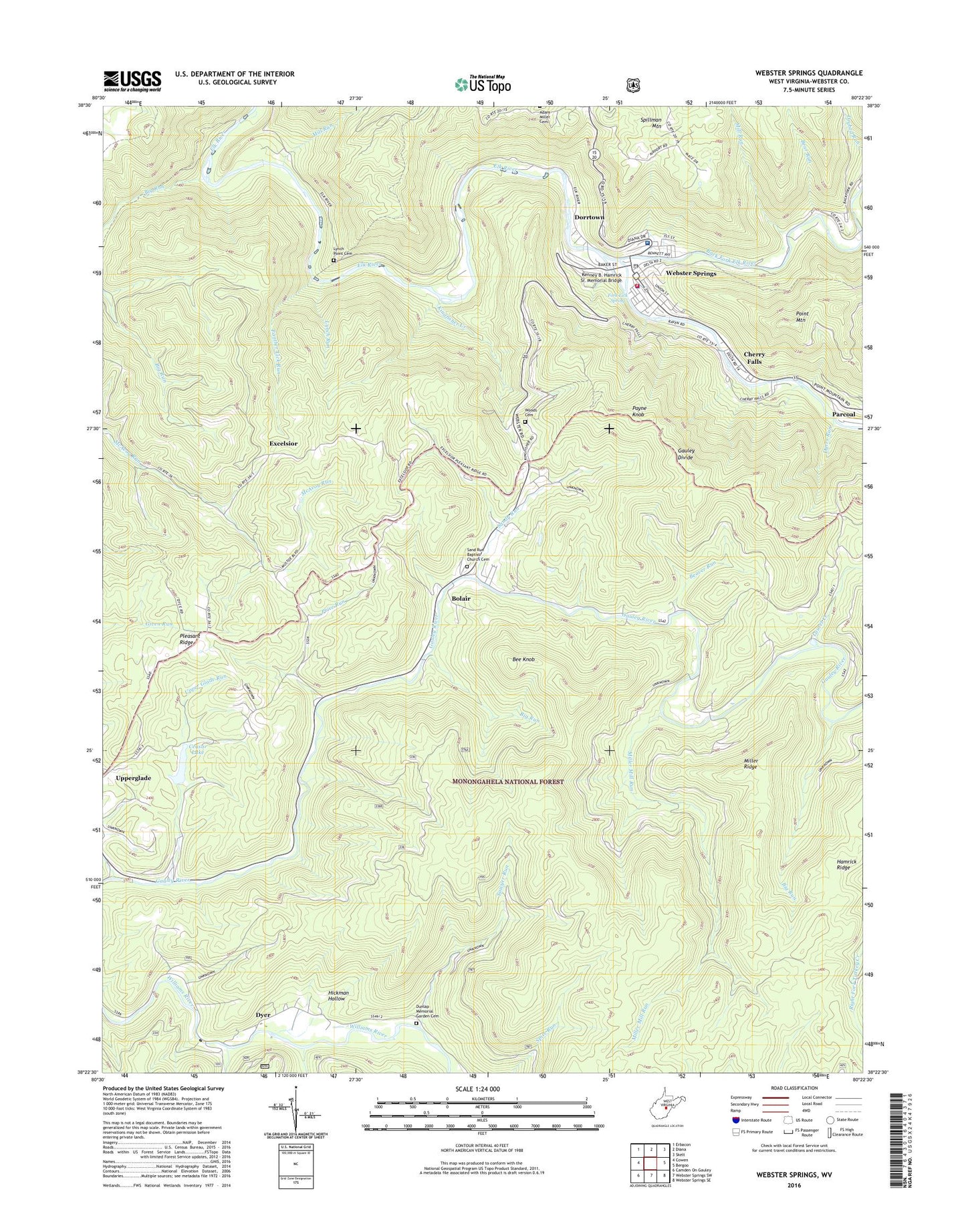
2023 topographic map quadrangle Webster Springs in the state of West Virginia. Scale: 1:24000. Based on the newly updated USGS 7.5' US Topo map series, this map is in the following counties: Webster. The map contains contour data, water features, and other items you are used to seeing on USGS maps, but also has updated roads and other features. This is the next generation of topographic maps. Printed on high-quality waterproof paper with UV fade-resistant inks.
Quads adjacent to this one:
West: Cowen
Northwest: Erbacon
North: Diana
Northeast: Skelt
East: Bergoo
Southeast: Webster Springs SE
South: Webster Springs SW
Southwest: Camden On Gauley
This map covers the same area as the classic USGS quad with code o38080d4.
Contains the following named places: Back Fork Elk River, Bear Run, Beaver Run, Beaver Run Church, Beaver Run School, Bee Knob, Big Run, Bolair, Caesar Lake, Camp Caesar, Camp Caesar Dam, Cherry Falls, Cherry Falls Census Designated Place, Cherry Falls School, Craig Run, Dorrtown, Dunlap Memorial Garden Cemetery, Dyer, Dyers Run, Excelsior, Excelsior School, Fork Lick Spring, Hamrick Ridge, Hickman Hollow, Jonathan Run, Kenney B. Hamrick Sr. Memorial Bridge, Kingfisher Creek, Kingfisher School, Laurel Creek, Lynch Point Cemetery, Lynch Run, McGuire Mountain, Mill Run, Miller Mill Run, Miller Ridge, Mills Mountain School, Panther Lick Run, Payne Knob, Pleasant Ridge, Pleasant Ridge Church, Pleasant Ridge School, Price Run, Sand Run Baptist Church Cemetery, Sandy Run, Sawyer Run, Skidmore Crossing, Spillman Mountain, Town of Addison (Webster Springs), Upper Glade Run, Webster - Addison Public Library, Webster County, Webster County Courthouse, Webster County Memorial Hospital, Webster County Memorial Hospital Emergency Medical Services, Webster County Sheriff's Office, Webster Springs, Webster Springs Elementary School, Webster Springs Police Department, Webster Springs Post Office, Webster Springs Volunteer Fire Department, Woods Cemetery, ZIP Code: 26266


