MyTopo
Webster Springs SW West Virginia US Topo Map
Couldn't load pickup availability
Also explore the Webster Springs SW Forest Service Topo of this same quad for updated USFS data
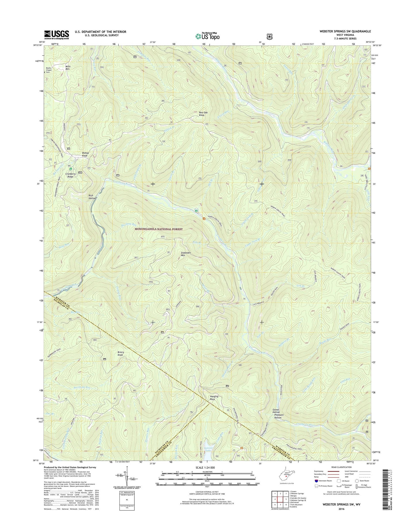
2023 topographic map quadrangle Webster Springs SW in the state of West Virginia. Scale: 1:24000. Based on the newly updated USGS 7.5' US Topo map series, this map is in the following counties: Webster, Nicholas, Greenbrier. The map contains contour data, water features, and other items you are used to seeing on USGS maps, but also has updated roads and other features. This is the next generation of topographic maps. Printed on high-quality waterproof paper with UV fade-resistant inks.
Quads adjacent to this one:
West: Camden On Gauley
Northwest: Cowen
North: Webster Springs
Northeast: Bergoo
East: Webster Springs SE
Southeast: Lobelia
South: Fork Mountain
Southwest: Richwood
This map covers the same area as the classic USGS quad with code o38080c4.
Contains the following named places: Aldrich Branch, Baldwin Branch, Barrenshe Trail, Bear Run Trail, Bee Run Trail, Big Swag Run, Billy Branch, Bishop Knob, Bishop Knob Recreation Area, Blacks Chapel Cemetery, Briery Knob, Central District, Cold Run, Cranberry Back Country, Cranberry Campground, Cranberry Ridge, Cranberry Wildlife Management Area, Dogway Camping Shelter, Dogway Fork, Foxtree Run, Goose Hollow, Hanging Rock, Hanging Rock Branch, Hanging Rock Trail, Johnson Run, Laurel Branch, Laurel Run, Lick Branch, Lick Branch Trail, Little Fork, Little Hacking Run, Little Laurel Branch, Little Rough Run, Lower Twin Branch, Middle Fork Williams River, Mill Branch, Mills Mountain, Mills Mountain Church, North Cove Run, Note Branch, Pheasant Hollow, Pleasant Hollow Camping Shelter, Queer Branch, Red Oak Knob, Red Oak Lookout Tower, Rich Hollow, Rough Run, Snakeden Mountain, Snakeden Trail, Spice Run, Summit Lake, Three Forks of Williams River, Upper Twin Branch, White Oak Fork


