MyTopo
Arland Wisconsin US Topo Map
Couldn't load pickup availability
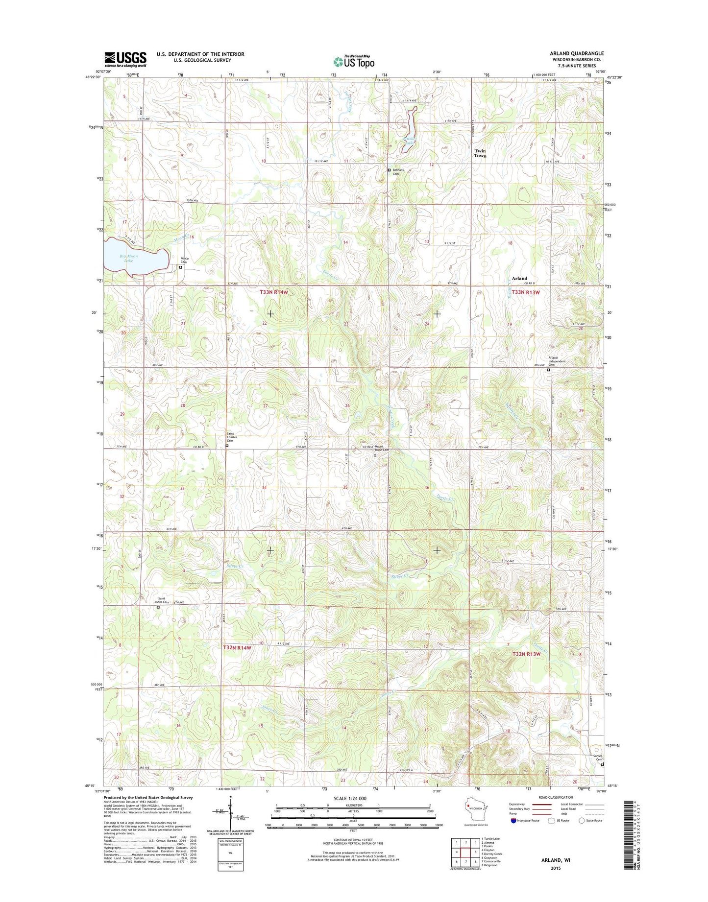
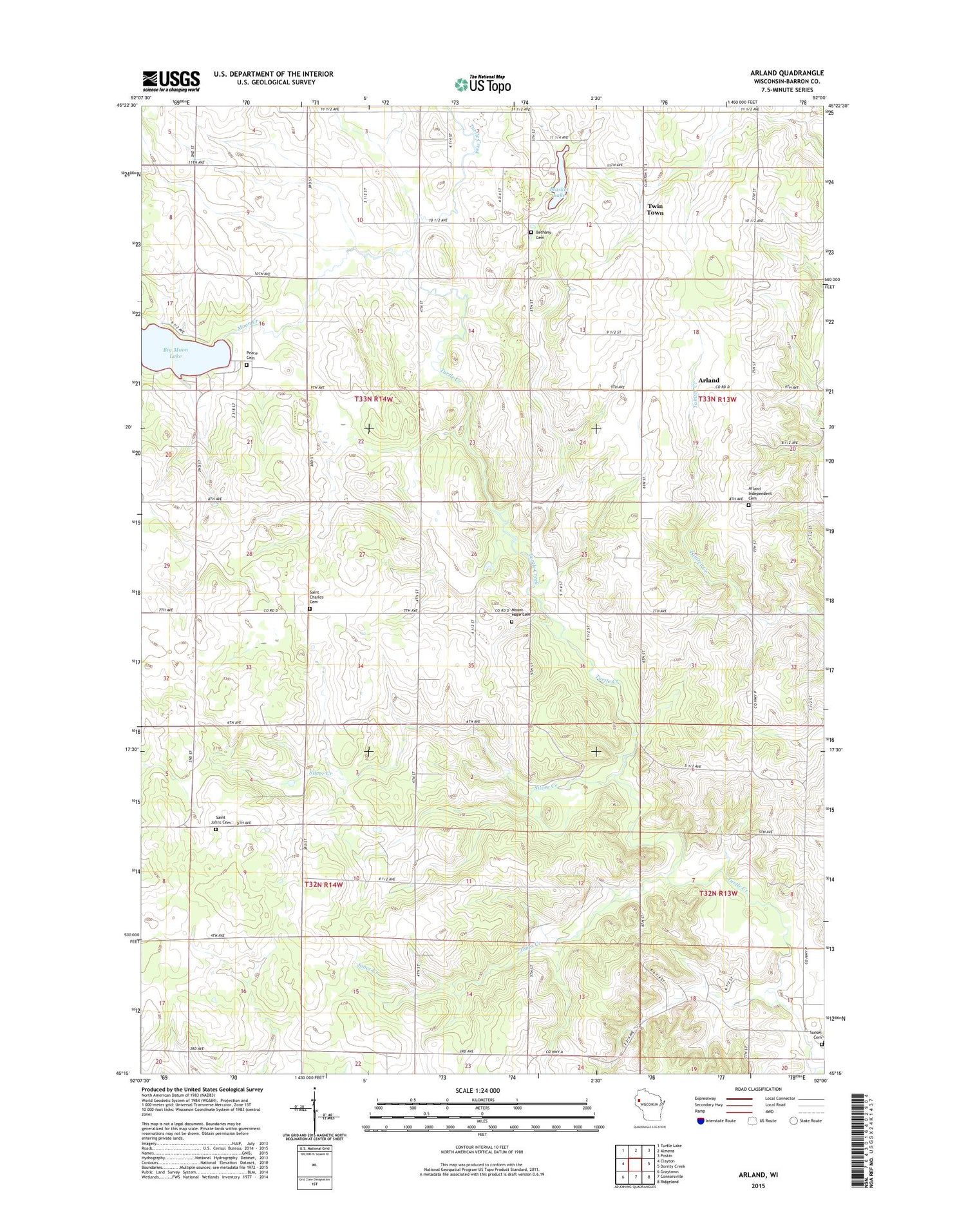
2018 topographic map quadrangle Arland in the state of Wisconsin. Scale: 1:24000. Based on the newly updated USGS 7.5' US Topo map series, this map is in the following counties: Barron. The map contains contour data, water features, and other items you are used to seeing on USGS maps, but also has updated roads and other features. This is the next generation of topographic maps. Printed on high-quality waterproof paper with UV fade-resistant inks.
Quads adjacent to this one:
West: Clayton
Northwest: Turtle Lake
North: Almena
Northeast: Poskin
East: Dorrity Creek
Southeast: Ridgeland
South: Connorsville
Southwest: Graytown
Contains the following named places: Arland, Arland Independent Cemetery, Bethany Cemetery, Bethany Church, Big Moon Lake, Big Moon Lake 2WP1478 Dam, Breen School, Clover Leaf School, Crescent Valley Farm, Degerman Daries, Grant School, Jones Creek, Jones Creek School, Liberty School, Longfellow School, Lutheran Church, Manske Farm, Moon Creek, Moon Lake School, Mount Hope Cemetery, Musket Lake, Peace Cemetery, Peace Church, Saint Charles Cemetery, Saint Johns Cemetery, Silver Creek, Silver Creek Church, Sunset Cemetery, Thompson Park, Town of Turtle Lake, Town of Vance Creek, Turtle Lake Townhall, Twin Town, White Clover School