MyTopo
Baldwin West Wisconsin US Topo Map
Couldn't load pickup availability
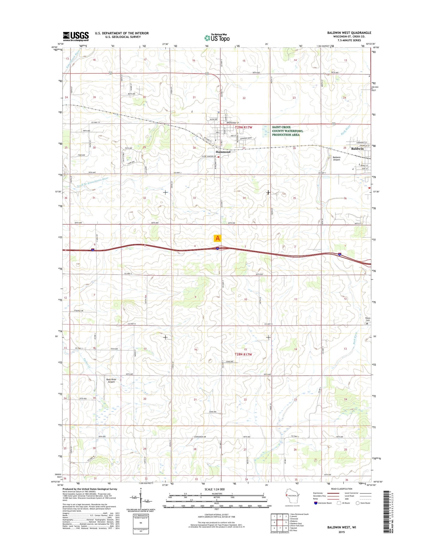
2022 topographic map quadrangle Baldwin West in the state of Wisconsin. Scale: 1:24000. Based on the newly updated USGS 7.5' US Topo map series, this map is in the following counties: St. Croix. The map contains contour data, water features, and other items you are used to seeing on USGS maps, but also has updated roads and other features. This is the next generation of topographic maps. Printed on high-quality waterproof paper with UV fade-resistant inks.
Quads adjacent to this one:
West: Roberts
Northwest: New Richmond South
North: Jewett
Northeast: Emerald
East: Baldwin East
Southeast: El Paso
South: Martell
Southwest: River Falls East
This map covers the same area as the classic USGS quad with code o44092h4.
Contains the following named places: Baldwin - Woodville High School, Baldwin Airport, Baldwin Christian School, Elm Grove School, First Reformed Church, Gethsemane Lutheran Church, Golfview Mobile Home Park, Greenfield Elementary School, Hammond, Hammond Central School, Hammond Police Department, Hammond Post Office, Lincoln School, North Centerville School, North Rush River Peace Church, North Valley School, Oak Grove School, Palmer, Peace Cemetery, Peace Lutheran Church, Pleasant Valley Townhall, Rush River Airport, Rush River Townhall, Saint Croix Central High School, Saint Croix Central Middle School, Town of Hammond, Town of Pleasant Valley, Town of Rush River, United Fire and Rescue District Baldwin Station, United Fire and Rescue District Hammond Station, Valley View School, Village of Hammond, Willow Hill School, Woodside School, ZIP Code: 54015