MyTopo
Martell Wisconsin US Topo Map
Couldn't load pickup availability
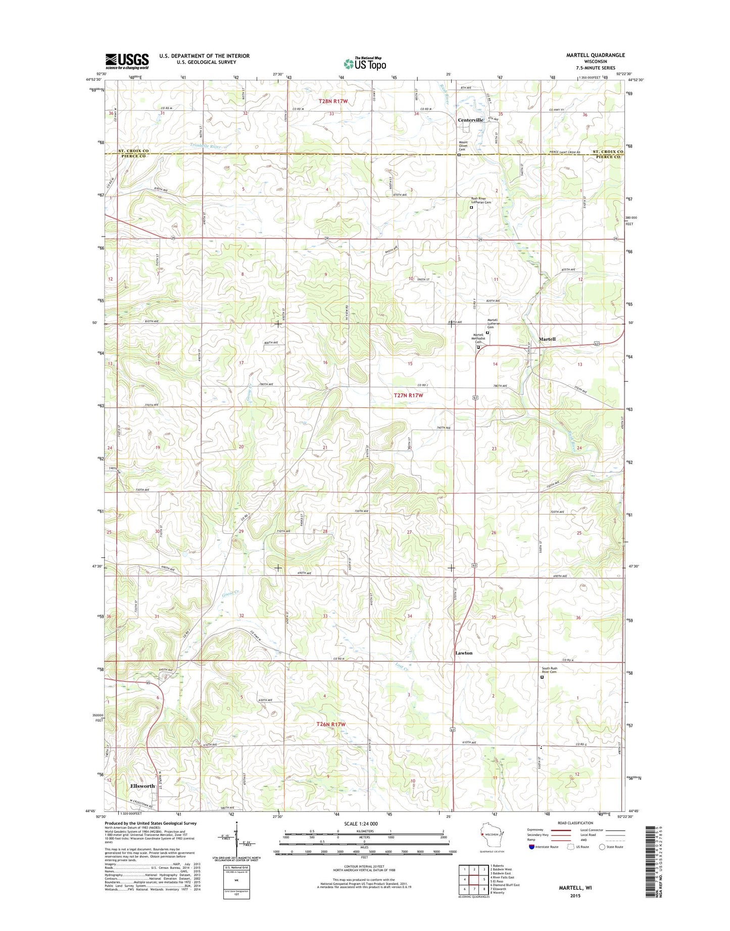
2022 topographic map quadrangle Martell in the state of Wisconsin. Scale: 1:24000. Based on the newly updated USGS 7.5' US Topo map series, this map is in the following counties: Pierce, St. Croix. The map contains contour data, water features, and other items you are used to seeing on USGS maps, but also has updated roads and other features. This is the next generation of topographic maps. Printed on high-quality waterproof paper with UV fade-resistant inks.
Quads adjacent to this one:
West: River Falls East
Northwest: Roberts
North: Baldwin West
Northeast: Baldwin East
East: El Paso
Southeast: Waverly
South: Ellsworth
Southwest: Diamond Bluff East
This map covers the same area as the classic USGS quad with code o44092g4.
Contains the following named places: .11 Reservoir, .12 Reservoir, .40 Reservoir, 0.7 Reservoir, 1 Reservoir, 54003, Centerville, Clay Corners, Clay Corners School, Cloverdale School, Donovan Robey Number 1 G 8180 Dam, Donovan Robey Number 2 G 8180.1 Dam, Donovan Robey Number 3 G 8180.2 Dam, Falde Farms, Fay School, Frier School, Herum School, Knutson Family Farms, Lawton, Lyndon Hill Farm, Martell, Martell Lutheran Cemetery, Martell Methodist Cemetery, Maynard School, Morton Corner, Morton Corner School, Mount Olivet Cemetery, Our Savior Church, Roger Swenson G-8498 Dam, Rohl Farms, Rush River Lutheran Cemetery, Rush River Lutheran Church, South Rush River Cemetery, South Rush River School, Sunnyside Elementary School, Thomas D H Sitz 636 Dam, Town of Martell, Walker Farms, White Rock Farm


