MyTopo
Campbellsport Wisconsin US Topo Map
Couldn't load pickup availability
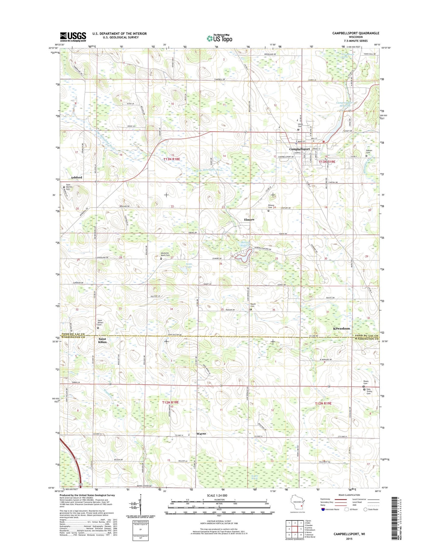
2022 topographic map quadrangle Campbellsport in the state of Wisconsin. Scale: 1:24000. Based on the newly updated USGS 7.5' US Topo map series, this map is in the following counties: Fond du Lac, Washington. The map contains contour data, water features, and other items you are used to seeing on USGS maps, but also has updated roads and other features. This is the next generation of topographic maps. Printed on high-quality waterproof paper with UV fade-resistant inks.
Quads adjacent to this one:
West: Lomira
Northwest: Byron
North: Eden
Northeast: Dundee
East: Kewaskum
Southeast: West Bend
South: Allenton
Southwest: Nenno
This map covers the same area as the classic USGS quad with code o43088e3.
Contains the following named places: Ashford, Auburn Cemetery, Campbellsport, Campbellsport Dam, Campbellsport Elementary School, Campbellsport Junior High School, Campbellsport Middle - High School, Campbellsport Millpond, Campbellsport Police Department, Campbellsport Post Office, Campbellsport Public Library, Campbellsport United Church of Christ, Campbellsport Village Hall, Campbellsport Volunteer Fire Department, Campbellsport Wastewater Treatment Facility, Cedar Ridge Farm, Clover Hill Dairy, Columbus Park, Contours Farms, Deutsche Bisch Cemetery, Elmore, Elmore Cemetery, Firemans Park, First Baptist Church, First Baptist Church of Campbellsport, Five Corners School, Hideaway Hills, Holy Trinity Cemetery, I4 Learning Community School, Immanuel Lutheran Church, Jaeger Farms, Koepke Dairy Farm, Lake Bernice, Mueller Farms, Peace Cemetery, Rauch Cemetery, Saint Bridget Church, Saint Bridget School, Saint Kilian, Saint Kilian Cemetery, Saint Martins Cemetery, Saint Martins Church, Saint Matthew Elementary School, Saint Matthews Catholic Church, Salem Church, Schrauths Mill Dam, Senland Farm, Senn Lake, Spring School, Spring Valley Dairy Farm, Stoffel Farms, T and T Farms, Town of Ashford, Union Cemetery, Village of Campbellsport, Wayne, Wayne Center School, ZIP Code: 53010


