
MyTopo
Dorrity Creek Wisconsin US Topo Map
Couldn't load pickup availability
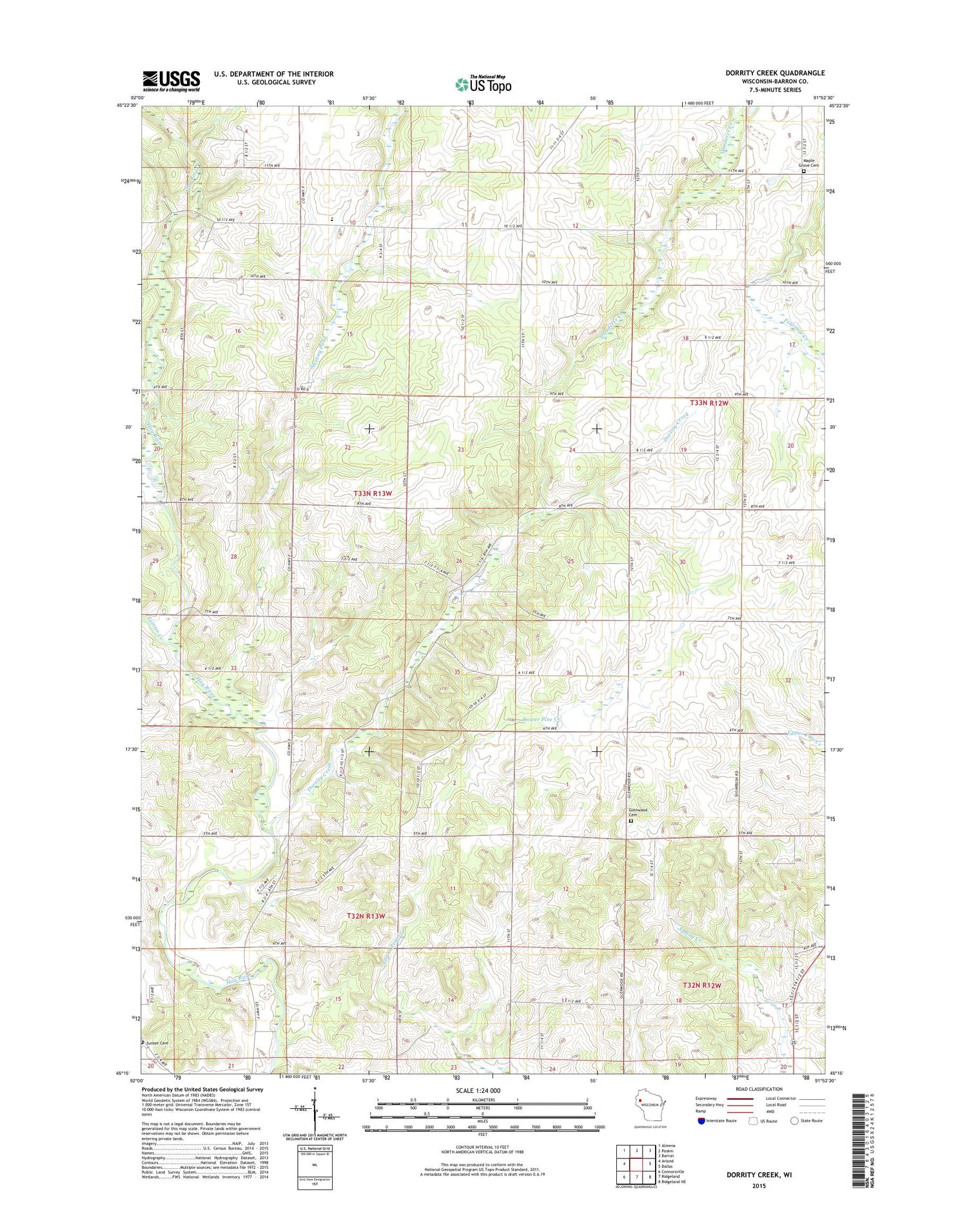
2018 topographic map quadrangle Dorrity Creek in the state of Wisconsin. Scale: 1:24000. Based on the newly updated USGS 7.5' US Topo map series, this map is in the following counties: Barron. The map contains contour data, water features, and other items you are used to seeing on USGS maps, but also has updated roads and other features. This is the next generation of topographic maps. Printed on high-quality waterproof paper with UV fade-resistant inks.
Quads adjacent to this one:
West: Arland
Northwest: Almena
North: Poskin
Northeast: Barron
East: Dallas
Southeast: Ridgeland NE
South: Ridgeland
Southwest: Connorsville
Contains the following named places: 0.05 Reservoir, Anderson School, Arland Townhall, Columbus School, Dorits School, Dorrity Creek, Fourtown Junction School, Glenwood Cemetery, Hillcrest Mennonite School, Maple Grove Baptist Cemetery, Maple Grove Church, Miller G877 19 Dam, Nelson Dewey School, Pleasant Creek School, Sunnyside School, Tainter Creek, Town of Arland, Town of Prairie Farm, Turtle Creek School, Victory School, West Dallas School, Young School


