MyTopo
Eden Wisconsin US Topo Map
Couldn't load pickup availability
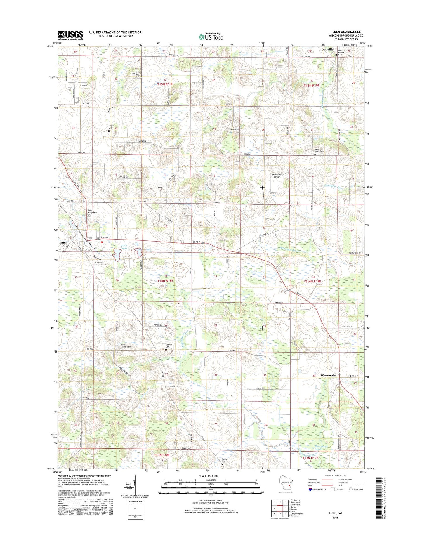
2018 topographic map quadrangle Eden in the state of Wisconsin. Scale: 1:24000. Based on the newly updated USGS 7.5' US Topo map series, this map is in the following counties: Fond du Lac. The map contains contour data, water features, and other items you are used to seeing on USGS maps, but also has updated roads and other features. This is the next generation of topographic maps. Printed on high-quality waterproof paper with UV fade-resistant inks.
Quads adjacent to this one:
West: Byron
Northwest: Fond du Lac
North: Saint Peter
Northeast: Saint Cloud
East: Dundee
Southeast: Kewaskum
South: Campbellsport
Southwest: Lomira
Contains the following named places: Braatz Farms, Broken Bow Dairy, Buena Vista Airport, Dinner Bell Farms, Dinnerbell Airport, Dunisch Farm, Eden, Eden Elementary School, Eden Post Office, Eden Volunteer Fire Department, Edgewood School, Empire Cemetery, Foursome Acres, Gobels Pit, Gudex Cemetery, Guells Dairy Farm, Harcum School, Hayes School, Hill Vu Dairy Farm, Ice Age National Scientific Reserve, Jackson School, Leonard Farms, McCoullough Marsh, Odekirk Cemetery, Saint James Cemetery, Saint James Church, Saint John Cemetery, Saint Mary School, Saint Mary's Cemetery, Saint Michael Cemetery, Tabor Church, Town of Eden, Twin Lakes, Village of Eden, Waucousta, Waucousta Lutheran School, Woodside School, ZIP Code: 53019