MyTopo
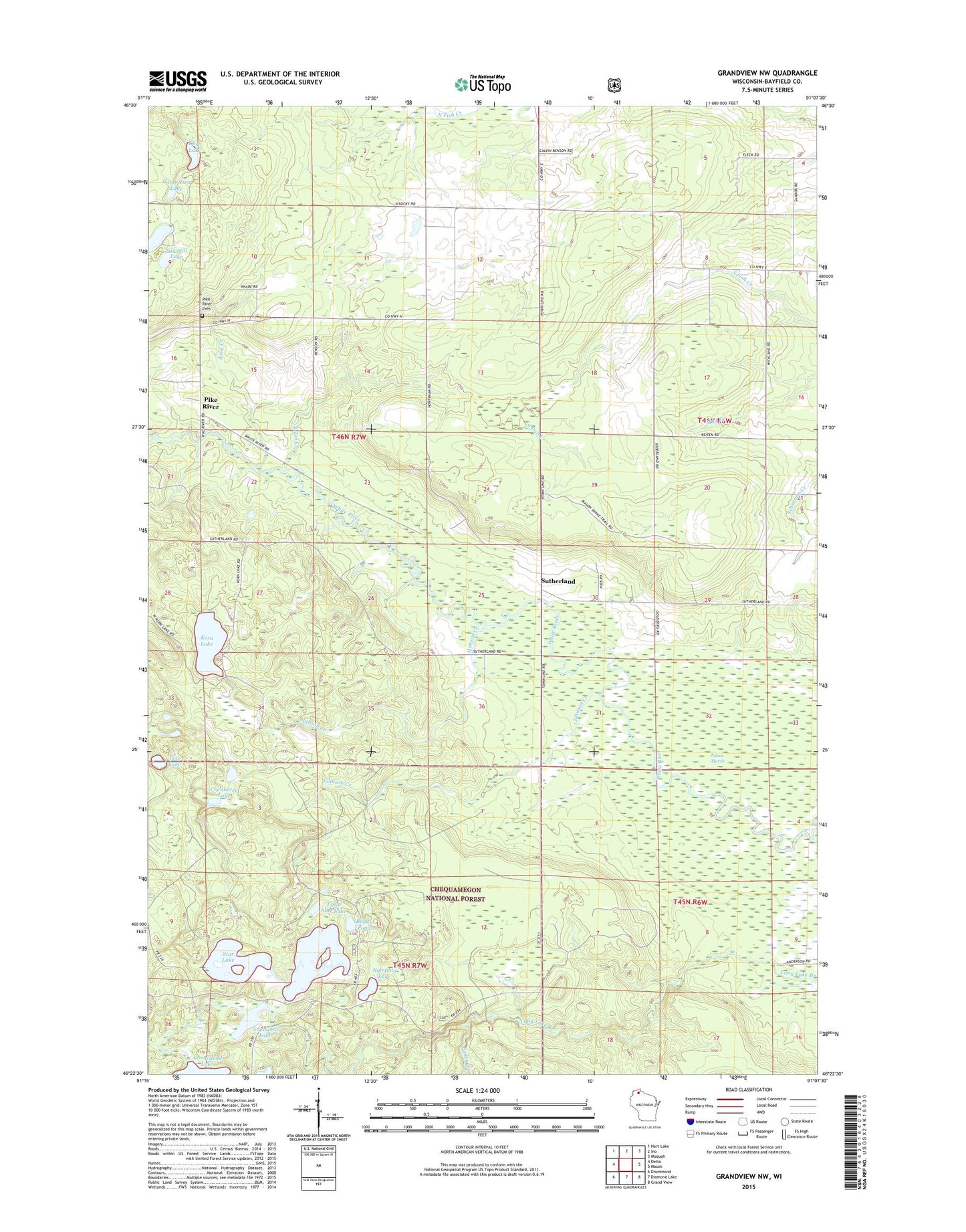
Grandview NW Wisconsin US Topo Map
Couldn't load pickup availability
Also explore the Grandview NW Forest Service Topo of this same quad for updated USFS data
2022 topographic map quadrangle Grandview NW in the state of Wisconsin. Scale: 1:24000. Based on the newly updated USGS 7.5' US Topo map series, this map is in the following counties: Bayfield. The map contains contour data, water features, and other items you are used to seeing on USGS maps, but also has updated roads and other features. This is the next generation of topographic maps. Printed on high-quality waterproof paper with UV fade-resistant inks.
Quads adjacent to this one:
West: Delta
Northwest: Hart Lake
North: Ino
Northeast: Moquah
East: Mason
Southeast: Grand View
South: Diamond Lake
Southwest: Drummond
This map covers the same area as the classic USGS quad with code o46091d2.
Contains the following named places: Anodanta Lake, Arrowhead Lake, Bethany Church, Boggy Pond, Bolen Creek, Camp Two Lake, Cranberry Lake, Deep Lake, Delta Cemetery, Hanson Creek, Jader Creek, Johnson Creek, Kern Creek, Kern Lake, Line Lake, Little Star Lake, Nymphia Lake, Pike River, Sajdak Springs State Natural Area, Sawmill Lake, Star Lake, Sutherland, ZIP Code: 54856