MyTopo
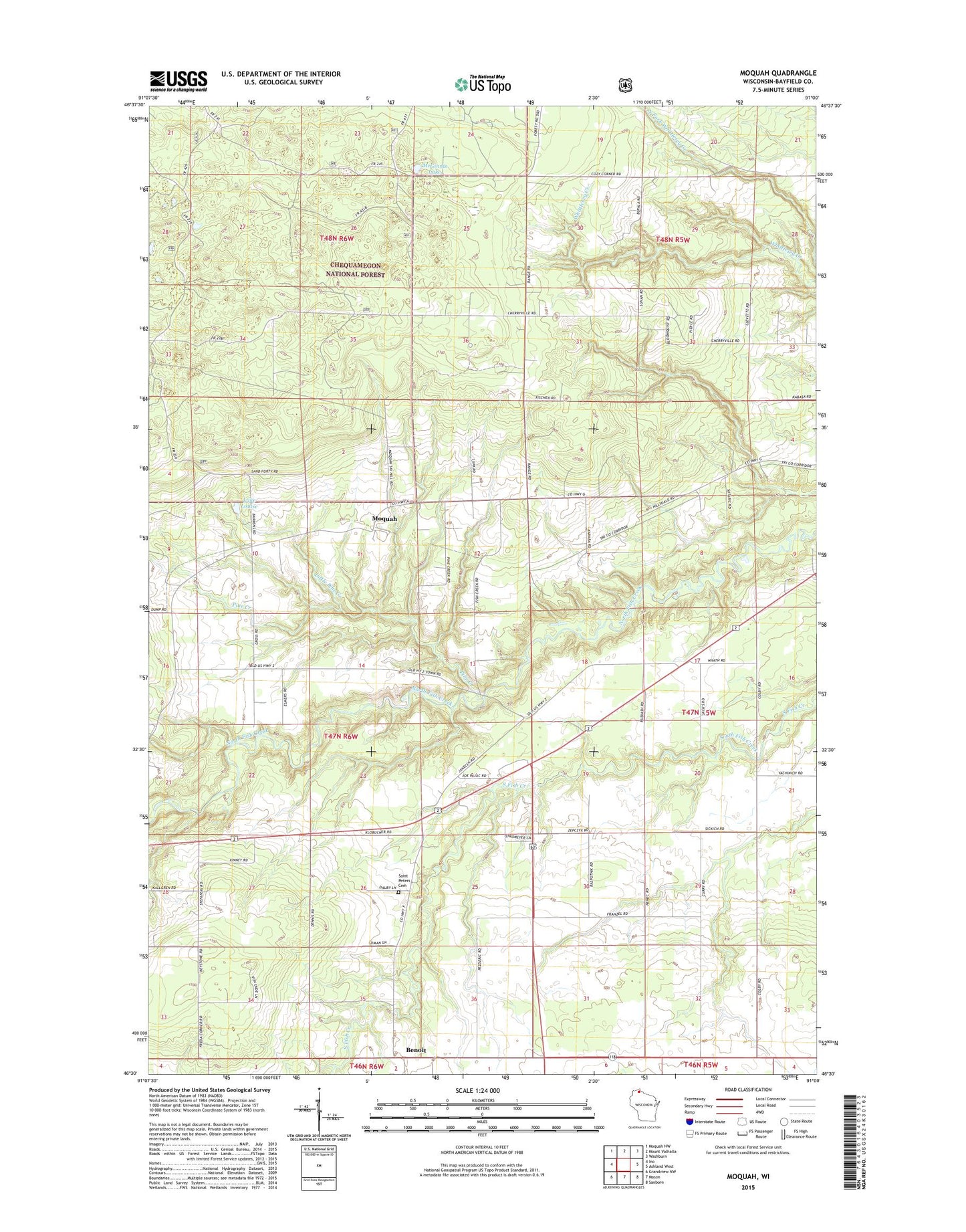
Moquah Wisconsin US Topo Map
Couldn't load pickup availability
Also explore the Moquah Forest Service Topo of this same quad for updated USFS data
2022 topographic map quadrangle Moquah in the state of Wisconsin. Scale: 1:24000. Based on the newly updated USGS 7.5' US Topo map series, this map is in the following counties: Bayfield. The map contains contour data, water features, and other items you are used to seeing on USGS maps, but also has updated roads and other features. This is the next generation of topographic maps. Printed on high-quality waterproof paper with UV fade-resistant inks.
Quads adjacent to this one:
West: Ino
Northwest: Moquah NW
North: Mount Valhalla
Northeast: Washburn
East: Ashland West
Southeast: Sanborn
South: Mason
Southwest: Grandview NW
This map covers the same area as the classic USGS quad with code o46091e1.
Contains the following named places: Benoit, Keystone Townhall, Lake Louise, Little Pine Creek, McGinnis Lake, Moquah, Pine Creek, Saint Peters Cemetery, Saint Peters Church, Town of Barksdale