MyTopo
Huron Wisconsin US Topo Map
Couldn't load pickup availability
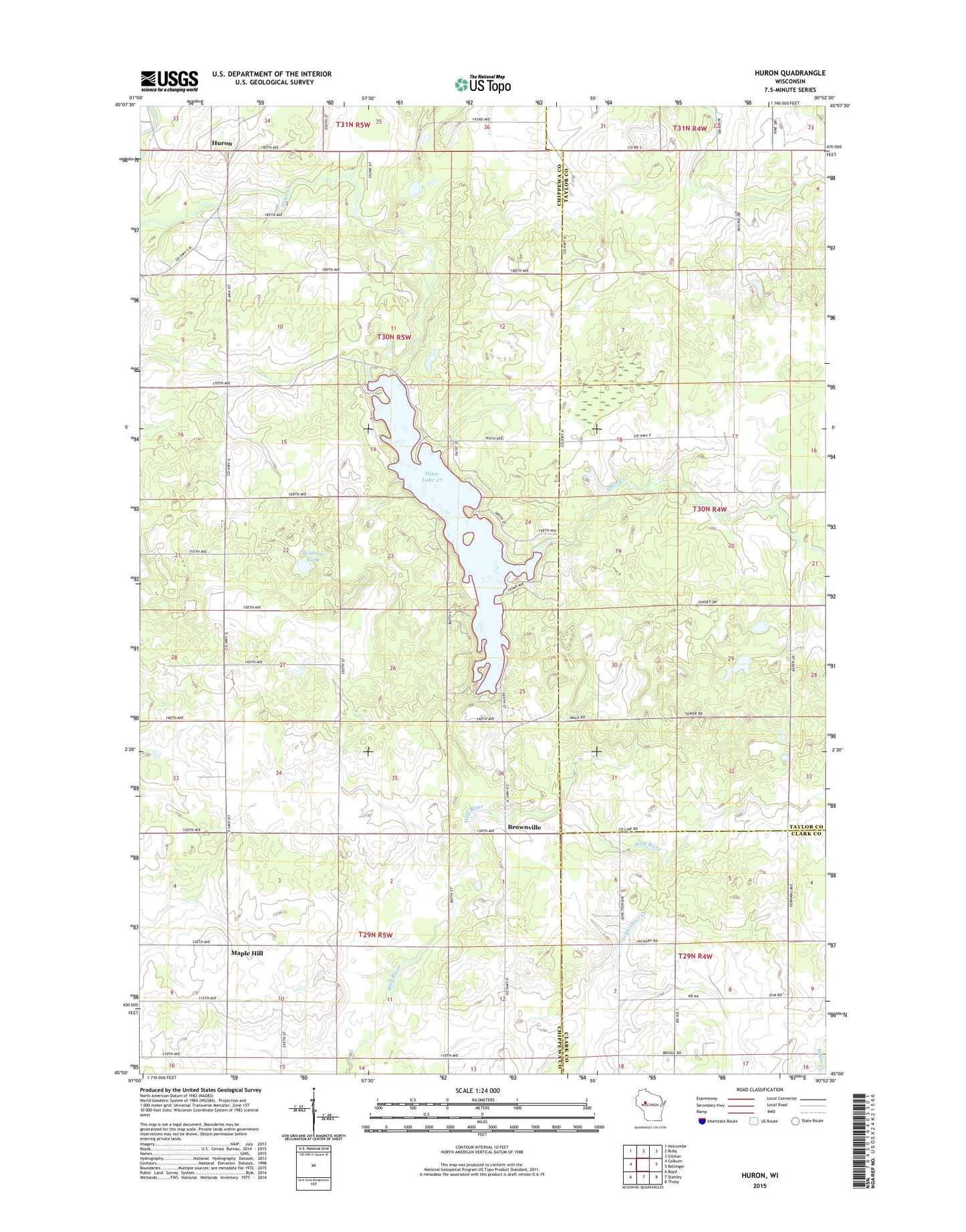
2022 topographic map quadrangle Huron in the state of Wisconsin. Scale: 1:24000. Based on the newly updated USGS 7.5' US Topo map series, this map is in the following counties: Chippewa, Taylor, Clark. The map contains contour data, water features, and other items you are used to seeing on USGS maps, but also has updated roads and other features. This is the next generation of topographic maps. Printed on high-quality waterproof paper with UV fade-resistant inks.
Quads adjacent to this one:
West: Colburn
Northwest: Holcombe
North: Ruby
Northeast: Gilman
East: Bellinger
Southeast: Thorp
South: Stanley
Southwest: Boyd
This map covers the same area as the classic USGS quad with code o45090a8.
Contains the following named places: Brownville, Gilman Lookout Tower, Huron, Junction, Maple Hill, Maple Hill School, Otter Lake, Otter Lake 27, Otter Lake 2WP315 Dam, Popple Hill School, Raven Lake, Spruce Lake, Town of Colburn, Withrow Lake