MyTopo
Land O' Lakes Wisconsin US Topo Map
Couldn't load pickup availability
Also explore the Land O' Lakes Forest Service Topo of this same quad for updated USFS data
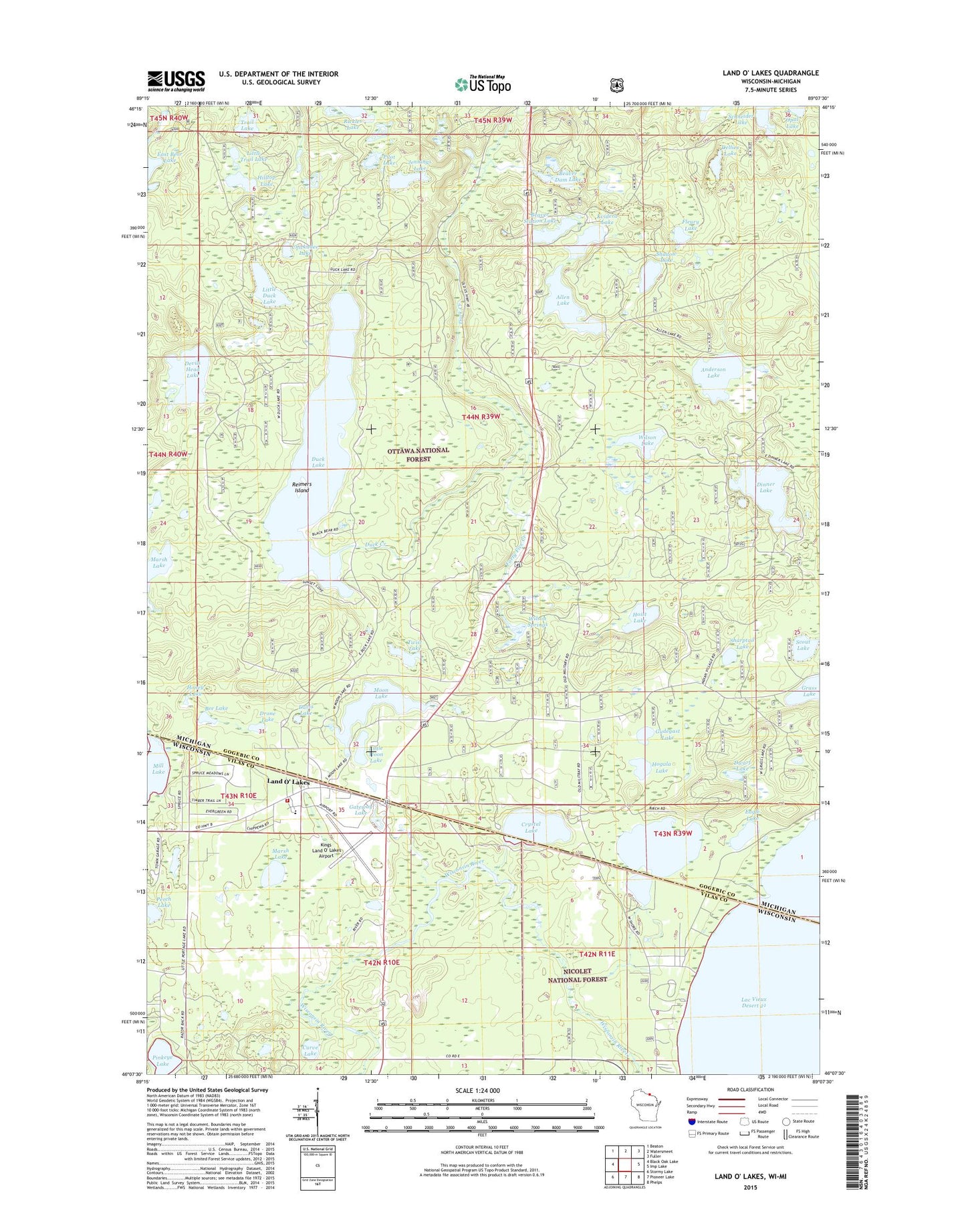
2022 topographic map quadrangle Land O' Lakes in the states of Michigan, Wisconsin. Scale: 1:24000. Based on the newly updated USGS 7.5' US Topo map series, this map is in the following counties: Vilas, Gogebic. The map contains contour data, water features, and other items you are used to seeing on USGS maps, but also has updated roads and other features. This is the next generation of topographic maps. Printed on high-quality waterproof paper with UV fade-resistant inks.
Quads adjacent to this one:
West: Black Oak Lake
Northwest: Beaton
North: Watersmeet
Northeast: Fuller
East: Imp Lake
Southeast: Phelps
South: Pioneer Lake
Southwest: Stormy Lake
This map covers the same area as the classic USGS quad with code o46089b2.
Contains the following named places: Allen Lake, Anderson Lake, Beaver Dam Lake, Beaver Station Lake, Bee Lake, Birch Lake, Chickadee Lake, Crystal Lake, Curve Lake, Davis Lake, Dellies Lake, Devils Head Lake, Dinner Lake, Drone Lake, Duck Lake, Dwarf Lake, Eagle Lake, Eleanore Lake, Fleury Lake, Forty Five Creek, Gateway Lake, Gateway Roadside Park, Grass Lake, Gudegast Lake, Hilltop Lake, Hogala Lake, Hoist Lake, Honey Lake, Hope Church, Jennings Lake, Kings Land O' Lakes Airport, Kvidera Lake, Lac Vieux Desert Campground, Land O' Lakes, Land O' Lakes Church, Land O' Lakes Elementary School, Land O' Lakes Post Office, Land O' Lakes Volunteer Fire Department and Ambulance Service, Little Duck Lake, Little Moon Lake, Little Trail Lake, Marsh Lake, Moon Lake, Opal Lake, Perch Lake, Pilot Lake, Pinkeye Lake, Reimers Island, Rickles Lake, Saint John Church, Schneider Lake, Scout Lake, Shadow Lake, Sharptail Lake, Ski Hill Winter Sports Area, Township of Watersmeet, Trail Lake, Twist Lake, Wilson Lake, Wilson Springs


