MyTopo
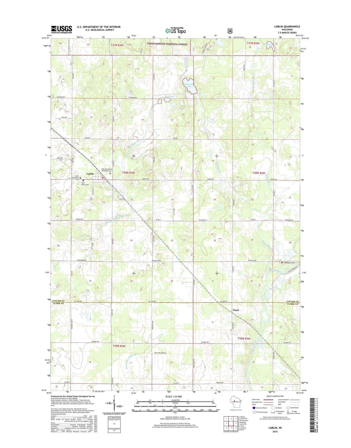
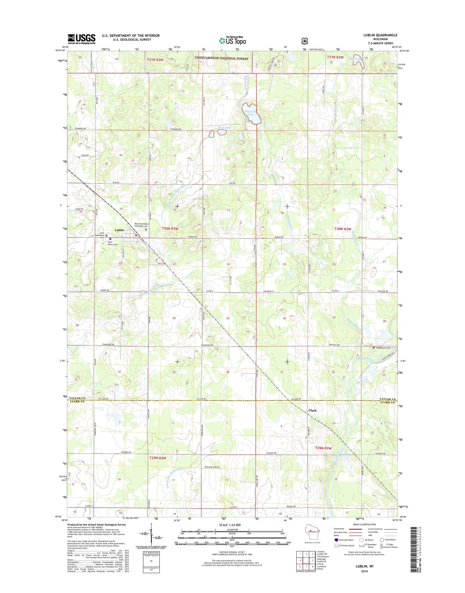
Lublin Wisconsin US Topo Map
Couldn't load pickup availability
2018 topographic map quadrangle Lublin in the state of Wisconsin. Scale: 1:24000. Based on the newly updated USGS 7.5' US Topo map series, this map is in the following counties: Taylor, Clark. The map contains contour data, water features, and other items you are used to seeing on USGS maps, but also has updated roads and other features. This is the next generation of topographic maps. Printed on high-quality waterproof paper with UV fade-resistant inks.
Quads adjacent to this one:
West: Bellinger
Northwest: Gilman
North: Lublin NW
Northeast: Perkinstown
East: Lublin SE
Southeast: Owen
South: Lombard
Southwest: Thorp
Contains the following named places: Clark, Diamond Creek, Diamond Lake, Diamond Lake State Natural Area, First Apostolic Church, Holy Assumption Orthodox Cemetery, Lakeview School, Lublin, Lublin Area Volunteer Fire District, Lublin Post Office, Maplehurst, Maplehurst Cemetery, McKenzie Creek, Mud Lake, Saint Marys Polish National Catholic Cemetery, Saint Stanislaus Cemetery, Syrup Creek, Tomczyk Pit, Town of Roosevelt, Village of Lublin, ZIP Codes: 54447, 54498